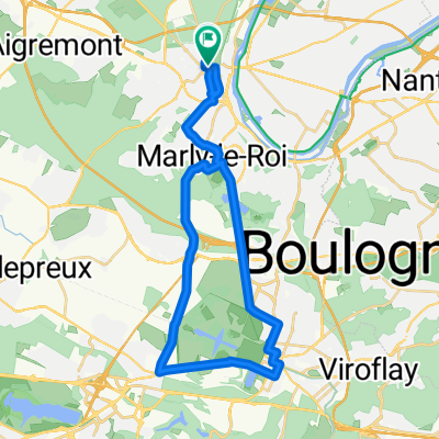
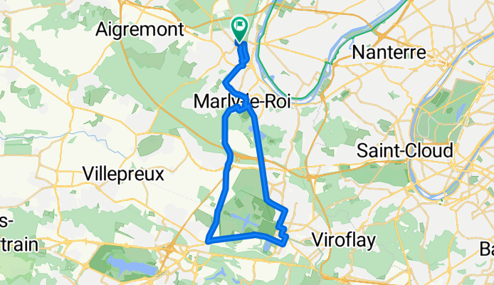
stger versailles 33,4
A cycling route starting in Saint-Germain-en-Laye, Île-de-France Region, France.
Overview
About this route
Remontez le temps au fil des km et parcourez l’histoire de Louis XIV de sa naissance à sa mort. Le kilométrage peut varier légèrement si vous devez adapter votre parcours en fonction des ouvertures des parcs.
- -:--
- Duration
- 33.4 km
- Distance
- 384 m
- Ascent
- 380 m
- Descent
- ---
- Avg. speed
- ---
- Max. altitude
Continue with Bikemap
Use, edit, or download this cycling route
You would like to ride stger versailles 33,4 or customize it for your own trip? Here is what you can do with this Bikemap route:
Free features
- Save this route as favorite or in collections
- Copy & plan your own version of this route
- Sync your route with Garmin or Wahoo
Premium features
Free trial for 3 days, or one-time payment. More about Bikemap Premium.
- Navigate this route on iOS & Android
- Export a GPX / KML file of this route
- Create your custom printout (try it for free)
- Download this route for offline navigation
Discover more Premium features.
Get Bikemap PremiumFrom our community
Other popular routes starting in Saint-Germain-en-Laye
 stger versailles 33,4
- Distance
- 33.4 km
- Ascent
- 384 m
- Descent
- 380 m
- Location
- Saint-Germain-en-Laye, Île-de-France Region, France
 Supersonic route in Saint-Germain-en-Laye
- Distance
- 36.7 km
- Ascent
- 348 m
- Descent
- 346 m
- Location
- Saint-Germain-en-Laye, Île-de-France Region, France
 Relaxed route in Saint-Germain-en-Laye
- Distance
- 25.9 km
- Ascent
- 345 m
- Descent
- 342 m
- Location
- Saint-Germain-en-Laye, Île-de-France Region, France
 Steady ride in Saint-Germain-en-Laye
- Distance
- 13.9 km
- Ascent
- 53 m
- Descent
- 52 m
- Location
- Saint-Germain-en-Laye, Île-de-France Region, France
 13 Terrasse des Chasses Royales, Saint-Germain-en-Laye à 15 Terrasse des Chasses Royales, Saint-Germain-en-Laye
- Distance
- 10.9 km
- Ascent
- 91 m
- Descent
- 93 m
- Location
- Saint-Germain-en-Laye, Île-de-France Region, France
 A bicyclette de Saint-Germain-en-Layeà Versailles
- Distance
- 33.4 km
- Ascent
- 342 m
- Descent
- 338 m
- Location
- Saint-Germain-en-Laye, Île-de-France Region, France
 Slow ride in Saint-Germain-en-Laye
- Distance
- 12.3 km
- Ascent
- 26 m
- Descent
- 29 m
- Location
- Saint-Germain-en-Laye, Île-de-France Region, France
 De Route du Buisson Richard, Saint-Germain-en-Laye à 8 Rue des Sources, Saint-Germain-en-Laye
- Distance
- 30.4 km
- Ascent
- 254 m
- Descent
- 276 m
- Location
- Saint-Germain-en-Laye, Île-de-France Region, France
Open it in the app

