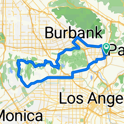
Mullholland Drive via Sunset CLONED FROM ROUTE 329585
- 45.1 km
- 421 m
- 421 m
- Glendale, California, United States
A cycling route starting in Glendale, California, United States.
Overview
created this 5 years ago
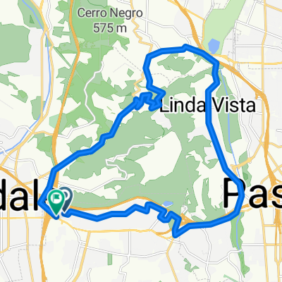
Route quality
Quiet road
21.2 km
(32 %)
Cycleway
13.3 km
(20 %)
Paved
31.2 km
(47 %)
Unpaved
0.7 km
(1 %)
Asphalt
26.5 km
(40 %)
Concrete
4 km
(6 %)
Continue with Bikemap
You would like to ride 420 W Elk Ave, Glendale to 32132 Castaic Lake Dr, Castaic or customize it for your own trip? Here is what you can do with this Bikemap route:
Free trial for 3 days, or one-time payment. More about Bikemap Premium.
Discover more Premium features.
Get Bikemap PremiumFrom our community
Open it in the app