

A1: vltavská levobřežní / Vltava river left-bank cycle route
A cycling route starting in Černošice, Central Bohemia, Czechia.
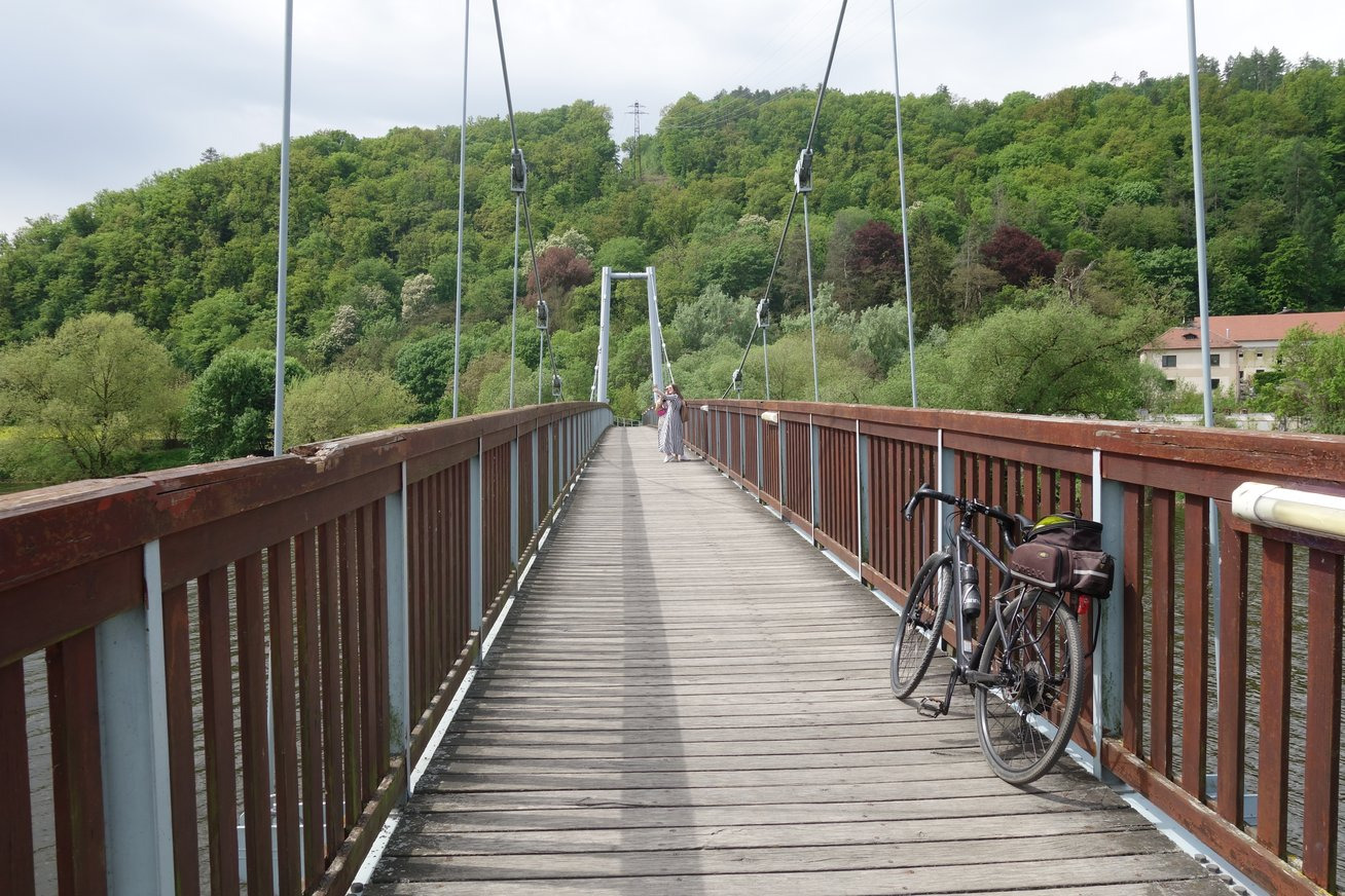
Overview
About this route
Info o trase: www.prahanakole.cz/paterni-cyklotrasy/cyklotrasa-a1-vltavska-levobrezni
More info at: www.prahanakole.cz/english/a1-the-vltava-left-bank-cycle-route/
- 1 h 53 min
- Duration
- 29.8 km
- Distance
- 163 m
- Ascent
- 175 m
- Descent
- 15.9 km/h
- Avg. speed
- 216 m
- Max. altitude

Route quality
Waytypes & surfaces along the route
Waytypes
Cycleway
15.1 km
(51 %)
Road
4 km
(13 %)
Surfaces
Paved
24.8 km
(83 %)
Unpaved
1 km
(3 %)
Asphalt
21.7 km
(73 %)
Paving stones
2.8 km
(9 %)
Route highlights
Points of interest along the route
Point of interest after 17.1 km
konec značení A1! no marking "A1" from this point!
Point of interest after 18.8 km
zkratka - možnost pokračovat ulicí Dukelských hrdinů k Výstavišti a znovu se napojit na A1
Point of interest after 23.5 km
pokračování značení A1 směr Sedlec
Point of interest after 23.9 km
Stromovkou pokračuje po trase A310
Continue with Bikemap
Use, edit, or download this cycling route
You would like to ride A1: vltavská levobřežní / Vltava river left-bank cycle route or customize it for your own trip? Here is what you can do with this Bikemap route:
Free features
- Save this route as favorite or in collections
- Copy & plan your own version of this route
- Sync your route with Garmin or Wahoo
Premium features
Free trial for 3 days, or one-time payment. More about Bikemap Premium.
- Navigate this route on iOS & Android
- Export a GPX / KML file of this route
- Create your custom printout (try it for free)
- Download this route for offline navigation
Discover more Premium features.
Get Bikemap PremiumFrom our community
Other popular routes starting in Černošice
 K Lázním, Praha 16 do Cedrová, Jesenice
- Distance
- 29.3 km
- Ascent
- 223 m
- Descent
- 66 m
- Location
- Černošice, Central Bohemia, Czechia
 Most Inteligence a Třebotov
- Distance
- 38.6 km
- Ascent
- 324 m
- Descent
- 345 m
- Location
- Černošice, Central Bohemia, Czechia
 Radtour 2025 - Etappe 4
- Distance
- 98.4 km
- Ascent
- 1,620 m
- Descent
- 1,395 m
- Location
- Černošice, Central Bohemia, Czechia
 Svinaře, Halouny a Černolice
- Distance
- 61.3 km
- Ascent
- 763 m
- Descent
- 756 m
- Location
- Černošice, Central Bohemia, Czechia
 Kolem Prahy
- Distance
- 80.2 km
- Ascent
- 554 m
- Descent
- 554 m
- Location
- Černošice, Central Bohemia, Czechia
 Svatý Jan pod Skalou
- Distance
- 57.4 km
- Ascent
- 713 m
- Descent
- 746 m
- Location
- Černošice, Central Bohemia, Czechia
 KULIVÁ HORA ; Nový rok 2020
- Distance
- 17.9 km
- Ascent
- 295 m
- Descent
- 293 m
- Location
- Černošice, Central Bohemia, Czechia
 Beroun a Chýňava
- Distance
- 71.6 km
- Ascent
- 542 m
- Descent
- 578 m
- Location
- Černošice, Central Bohemia, Czechia
Open it in the app