

Budapest - Esztergom - VBác
A cycling route starting in Budapest XX. kerület, Budapest, Hungary.
Overview
About this route
Ma megvolt. Délelőtt 9-kor indultunk, és elértük Vácon a 15:26-os vonatot. Megáltunk párszor mosakodni meg enni, minden faluban találtunk kutat, hol kerestünk. Az úton semmi különös nincs Pomázig. Onnan egyre szebb a táj és elkezd emelkedni. Pilisszentkeresztnél már egész jó emelkedők vannak, de ez még tart egészen a Dobogókői leágazásig. Onnan majdnem be lehet gurulni Esztergomig, az utolsó km-ket kell tekerni csak. Szlovák határ üres volt ki éb befelé is. Nem sokat tekertünk ott, de szép volt a táj, érdemes fényképezőgépet vinni.Szob után van Duna menti Bringaút, de mi csak később mentünk rá, amikor már jobb minőségű volt. A 12-es út nem olyan forgalmas, a 2-es viszont már igen, de itt nem kell sokat menni.
- -:--
- Duration
- 119.6 km
- Distance
- 604 m
- Ascent
- 603 m
- Descent
- ---
- Avg. speed
- ---
- Max. altitude

Route quality
Waytypes & surfaces along the route
Waytypes
Busy road
75 km
(63 %)
Cycleway
17.6 km
(15 %)
Surfaces
Paved
86.5 km
(72 %)
Unpaved
0.7 km
(<1 %)
Asphalt
83.6 km
(70 %)
Paving stones
2.5 km
(2 %)
Continue with Bikemap
Use, edit, or download this cycling route
You would like to ride Budapest - Esztergom - VBác or customize it for your own trip? Here is what you can do with this Bikemap route:
Free features
- Save this route as favorite or in collections
- Copy & plan your own version of this route
- Split it into stages to create a multi-day tour
- Sync your route with Garmin or Wahoo
Premium features
Free trial for 3 days, or one-time payment. More about Bikemap Premium.
- Navigate this route on iOS & Android
- Export a GPX / KML file of this route
- Create your custom printout (try it for free)
- Download this route for offline navigation
Discover more Premium features.
Get Bikemap PremiumFrom our community
Other popular routes starting in Budapest XX. kerület
 Csepel-Csobánka
- Distance
- 35.2 km
- Ascent
- 170 m
- Descent
- 79 m
- Location
- Budapest XX. kerület, Budapest, Hungary
 Big Route
- Distance
- 58.7 km
- Ascent
- 60 m
- Descent
- 60 m
- Location
- Budapest XX. kerület, Budapest, Hungary
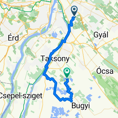
 Bp-Dömsöd-Bugyi-Ócsa-Bp
- Distance
- 97.4 km
- Ascent
- 56 m
- Descent
- 51 m
- Location
- Budapest XX. kerület, Budapest, Hungary
 Délegyháza - Rukkel tó
- Distance
- 42.4 km
- Ascent
- 87 m
- Descent
- 107 m
- Location
- Budapest XX. kerület, Budapest, Hungary
 Budapest XX. - Dobogókő
- Distance
- 48.1 km
- Ascent
- 553 m
- Descent
- 138 m
- Location
- Budapest XX. kerület, Budapest, Hungary
 Budapest - Esztergom - VBác
- Distance
- 119.6 km
- Ascent
- 604 m
- Descent
- 603 m
- Location
- Budapest XX. kerület, Budapest, Hungary
 Erzsébet - Róna utca
- Distance
- 13.3 km
- Ascent
- 17 m
- Descent
- 14 m
- Location
- Budapest XX. kerület, Budapest, Hungary
 Baross utca, Budapest - Baross utca, Budapest
- Distance
- 23.8 km
- Ascent
- 99 m
- Descent
- 101 m
- Location
- Budapest XX. kerület, Budapest, Hungary
Open it in the app