

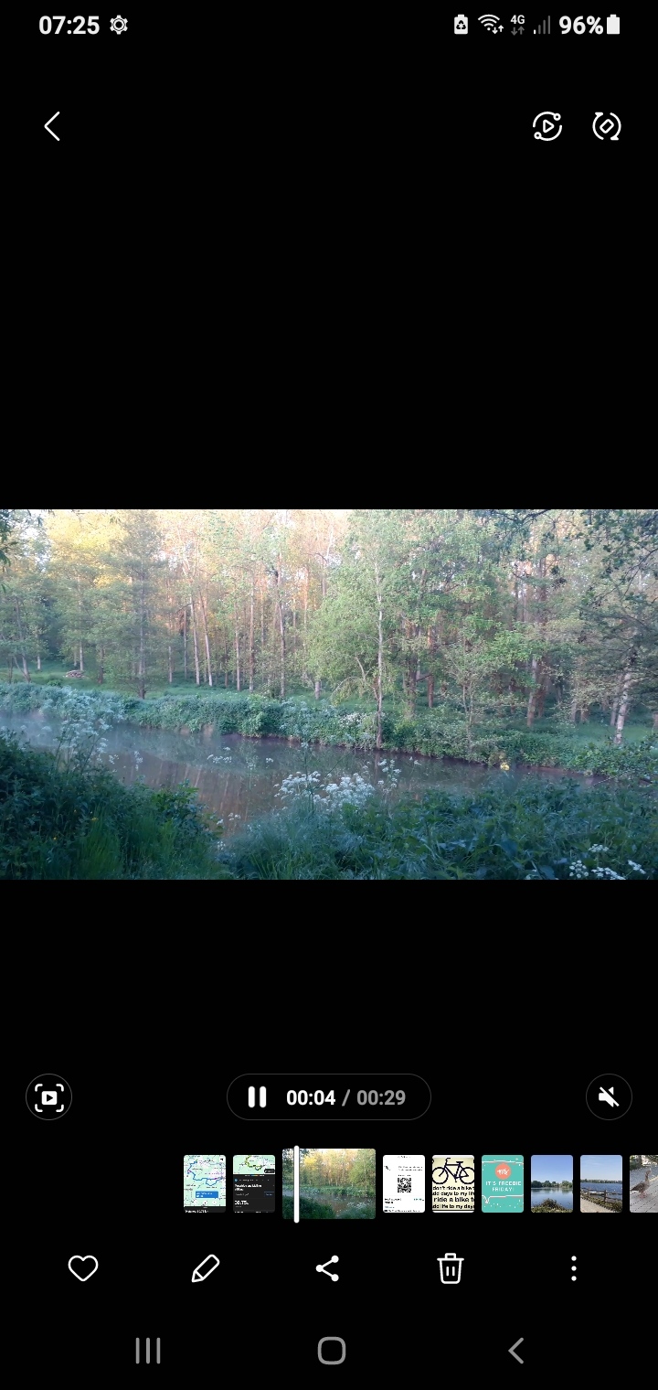
T Wells Fly-By
A cycling route starting in Larkfield, England, United Kingdom.
Overview
About this route
- 4 h 47 min
- Duration
- 76.8 km
- Distance
- 520 m
- Ascent
- 520 m
- Descent
- 16 km/h
- Avg. speed
- ---
- Max. altitude

Route quality
Waytypes & surfaces along the route
Waytypes
Road
30.7 km
(40 %)
Quiet road
30.7 km
(40 %)
Surfaces
Paved
25.3 km
(33 %)
Asphalt
24.6 km
(32 %)
Paved (undefined)
0.8 km
(1 %)
Undefined
51.4 km
(67 %)
Continue with Bikemap
Use, edit, or download this cycling route
You would like to ride T Wells Fly-By or customize it for your own trip? Here is what you can do with this Bikemap route:
Free features
- Save this route as favorite or in collections
- Copy & plan your own version of this route
- Sync your route with Garmin or Wahoo
Premium features
Free trial for 3 days, or one-time payment. More about Bikemap Premium.
- Navigate this route on iOS & Android
- Export a GPX / KML file of this route
- Create your custom printout (try it for free)
- Download this route for offline navigation
Discover more Premium features.
Get Bikemap PremiumFrom our community
Other popular routes starting in Larkfield
 Ditton to Sevenoaks Circuit
- Distance
- 50.7 km
- Ascent
- 358 m
- Descent
- 358 m
- Location
- Larkfield, England, United Kingdom
 West Malling Circuit
- Distance
- 25 km
- Ascent
- 146 m
- Descent
- 148 m
- Location
- Larkfield, England, United Kingdom
 Meghan Test route
- Distance
- 4.2 km
- Ascent
- 35 m
- Descent
- 37 m
- Location
- Larkfield, England, United Kingdom
 Eynsford Loop
- Distance
- 71 km
- Ascent
- 580 m
- Descent
- 580 m
- Location
- Larkfield, England, United Kingdom
 35 mile route via Yalding, East Peckham & Crouch
- Distance
- 57.4 km
- Ascent
- 422 m
- Descent
- 414 m
- Location
- Larkfield, England, United Kingdom
 Martin Square loop
- Distance
- 30.7 km
- Ascent
- 267 m
- Descent
- 315 m
- Location
- Larkfield, England, United Kingdom
 Bewl Water
- Distance
- 69.5 km
- Ascent
- 610 m
- Descent
- 610 m
- Location
- Larkfield, England, United Kingdom
 Oxley Shaw Lane, West Malling to Oxley Shaw Lane, West Malling
- Distance
- 19.8 km
- Ascent
- 150 m
- Descent
- 150 m
- Location
- Larkfield, England, United Kingdom
Open it in the app