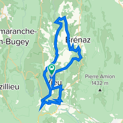
CC_Jura
A cycling route starting in Artemare, Auvergne-Rh么ne-Alpes, France.
Overview
About this route
Grand Colombier : versant le plus dur ...
- -:--
- Duration
- 40.8 km
- Distance
- 1,271 m
- Ascent
- 1,281 m
- Descent
- ---
- Avg. speed
- ---
- Max. altitude
Continue with Bikemap
Use, edit, or download this cycling route
You would like to ride CC_Jura or customize it for your own trip? Here is what you can do with this Bikemap route:
Free features
- Save this route as favorite or in collections
- Copy & plan your own version of this route
- Sync your route with Garmin or Wahoo
Premium features
Free trial for 3 days, or one-time payment. More about Bikemap Premium.
- Navigate this route on iOS & Android
- Export a GPX / KML file of this route
- Create your custom printout (try it for free)
- Download this route for offline navigation
Discover more Premium features.
Get Bikemap PremiumFrom our community
Other popular routes starting in Artemare
Saint maurice - Mont du chat- Distance
- 137.6 km
- Ascent
- 4,288 m
- Descent
- 3,561 m
- Location
- Artemare, Auvergne-Rh么ne-Alpes, France
40k 685hm Vieu- Distance
- 37.8 km
- Ascent
- 720 m
- Descent
- 717 m
- Location
- Artemare, Auvergne-Rh么ne-Alpes, France
Colombier-Clergeon-Sapenay- Distance
- 97.7 km
- Ascent
- 2,664 m
- Descent
- 2,665 m
- Location
- Artemare, Auvergne-Rh么ne-Alpes, France
Massif Central- Distance
- 569 km
- Ascent
- 3,388 m
- Descent
- 3,202 m
- Location
- Artemare, Auvergne-Rh么ne-Alpes, France
*06-J. Artemare - Annecy (169 Km)- Distance
- 169 km
- Ascent
- 4,751 m
- Descent
- 4,540 m
- Location
- Artemare, Auvergne-Rh么ne-Alpes, France
Artemare - Hotonnes- Distance
- 44.9 km
- Ascent
- 644 m
- Descent
- 644 m
- Location
- Artemare, Auvergne-Rh么ne-Alpes, France
Grand Colombier- Distance
- 44.7 km
- Ascent
- 1,270 m
- Descent
- 1,268 m
- Location
- Artemare, Auvergne-Rh么ne-Alpes, France
CC_Jura- Distance
- 40.8 km
- Ascent
- 1,271 m
- Descent
- 1,281 m
- Location
- Artemare, Auvergne-Rh么ne-Alpes, France
Open it in the app


