Ça déconfiture
- 135.7 km
- 1,009 m
- 1,911 m
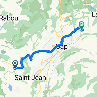
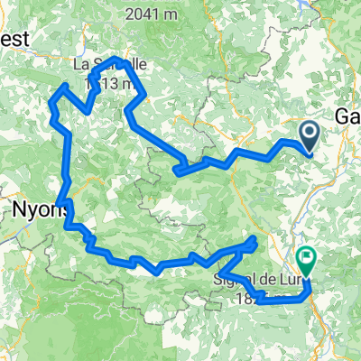
- La Roche-des-Arnauds, Provence-Alpes-Côte d'Azur Region, France
A cycling route starting in La Roche-des-Arnauds, Provence-Alpes-Côte d'Azur Region, France.
Overview
Correo / Grangeneuve via roads without curbs
created this 5 years ago
Route quality
Road
90.9 km
(67 %)
Quiet road
16.3 km
(12 %)
Paved
66.5 km
(49 %)
Unpaved
1.4 km
(1 %)
Asphalt
66.5 km
(49 %)
Gravel
1.4 km
(1 %)
Undefined
67.8 km
(50 %)
Continue with Bikemap
You would like to ride Ça déconfiture or customize it for your own trip? Here is what you can do with this Bikemap route:
Free trial for 3 days, or one-time payment. More about Bikemap Premium.
Discover more Premium features.
Get Bikemap PremiumFrom our community
Fenix3 Hr®
La Roche-des-Arnauds CyclingOpen it in the app