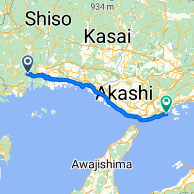
896−23 まで208−1
- 16.4 km
- 67 m
- 85 m
- Aioi, Hyōgo, Japan
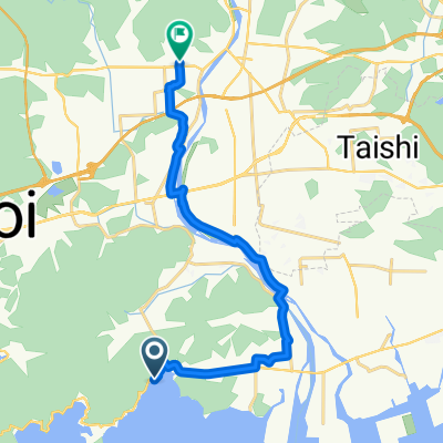
Quiet road
20.4 km24 %Cycleway
17.8 km21 %Paved
57.7 km(68 %)Asphalt
56.8 km67 %Paved (undefined)
0.8 km1 %Undefined
27.1 km32 %Free trial for 3 days, or one-time payment. More about Bikemap Premium.
Discover more Premium features.
Get Bikemap PremiumOpen it in the app