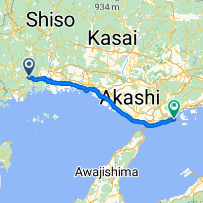
ぐるっと西はりま ショートカットルート4
A cycling route starting in Aioi, Hyōgo, Japan.
Overview
About this route
- -:--
- Duration
- 75.3 km
- Distance
- 1,150 m
- Ascent
- 1,149 m
- Descent
- ---
- Avg. speed
- ---
- Avg. speed
Continue with Bikemap
Use, edit, or download this cycling route
You would like to ride ぐるっと西はりま ショートカットルート4 or customize it for your own trip? Here is what you can do with this Bikemap route:
Free features
- Save this route as favorite or in collections
- Copy & plan your own version of this route
- Sync your route with Garmin or Wahoo
Premium features
Free trial for 3 days, or one-time payment. More about Bikemap Premium.
- Navigate this route on iOS & Android
- Export a GPX / KML file of this route
- Create your custom printout (try it for free)
- Download this route for offline navigation
Discover more Premium features.
Get Bikemap PremiumFrom our community
Other popular routes starting in Aioi
- ぐるっと西はりま ショートカットルート1
- Distance
- 128.1 km
- Ascent
- 2,021 m
- Descent
- 2,023 m
- Location
- Aioi, Hyōgo, Japan
- かみごおりダムtoダムコース
- Distance
- 48 km
- Ascent
- 732 m
- Descent
- 730 m
- Location
- Aioi, Hyōgo, Japan
- ぐるっと西播磨
- Distance
- 171.9 km
- Ascent
- 3,145 m
- Descent
- 3,145 m
- Location
- Aioi, Hyōgo, Japan
- ぐるっと西はりま ショートカットルート2
- Distance
- 98.9 km
- Ascent
- 1,731 m
- Descent
- 1,733 m
- Location
- Aioi, Hyōgo, Japan
- Himeji to Ako prospection
- Distance
- 30.3 km
- Ascent
- 242 m
- Descent
- 196 m
- Location
- Aioi, Hyōgo, Japan
- 絶景!万葉の岬から田園風景を見渡すコース
- Distance
- 43.4 km
- Ascent
- 554 m
- Descent
- 554 m
- Location
- Aioi, Hyōgo, Japan
- ぐるっと西はりま ショートカットルート3
- Distance
- 84.8 km
- Ascent
- 1,329 m
- Descent
- 1,330 m
- Location
- Aioi, Hyōgo, Japan
- ぐるっと西はりま ショートカットルート4
- Distance
- 75.3 km
- Ascent
- 1,150 m
- Descent
- 1,149 m
- Location
- Aioi, Hyōgo, Japan
Open it in the app