

Krauchenwies_Donautal_Krauchenwies
A cycling route starting in Krauchenwies, Baden-Wurttemberg, Germany.
Overview
About this route
- -:--
- Duration
- 54.9 km
- Distance
- 812 m
- Ascent
- 811 m
- Descent
- ---
- Avg. speed
- 809 m
- Max. altitude
Route quality
Waytypes & surfaces along the route
Waytypes
Road
9.9 km
(18 %)
Quiet road
6.6 km
(12 %)
Surfaces
Paved
37.9 km
(69 %)
Asphalt
36.2 km
(66 %)
Paved (undefined)
1.6 km
(3 %)
Undefined
17 km
(31 %)
Continue with Bikemap
Use, edit, or download this cycling route
You would like to ride Krauchenwies_Donautal_Krauchenwies or customize it for your own trip? Here is what you can do with this Bikemap route:
Free features
- Save this route as favorite or in collections
- Copy & plan your own version of this route
- Sync your route with Garmin or Wahoo
Premium features
Free trial for 3 days, or one-time payment. More about Bikemap Premium.
- Navigate this route on iOS & Android
- Export a GPX / KML file of this route
- Create your custom printout (try it for free)
- Download this route for offline navigation
Discover more Premium features.
Get Bikemap PremiumFrom our community
Other popular routes starting in Krauchenwies
 30km Tour
- Distance
- 30 km
- Ascent
- 301 m
- Descent
- 301 m
- Location
- Krauchenwies, Baden-Wurttemberg, Germany
 Krauchenwies - Neunkirch
- Distance
- 88.8 km
- Ascent
- 873 m
- Descent
- 1,029 m
- Location
- Krauchenwies, Baden-Wurttemberg, Germany
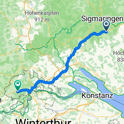
 Hauptstraße, Krauchenwies nach Radolfzeller Straße, Moos
- Distance
- 57.1 km
- Ascent
- 440 m
- Descent
- 629 m
- Location
- Krauchenwies, Baden-Wurttemberg, Germany
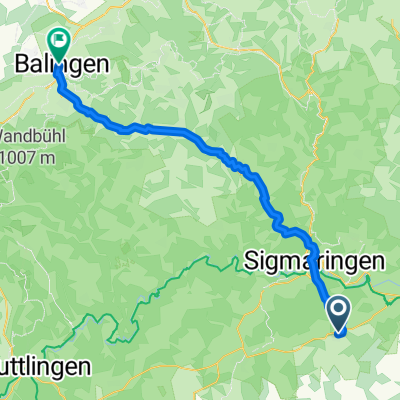 Hauptstraße, Krauchenwies nach Am Lindle, Balingen
- Distance
- 55.6 km
- Ascent
- 744 m
- Descent
- 819 m
- Location
- Krauchenwies, Baden-Wurttemberg, Germany
 Krauchenwies_Donautal_Krauchenwies
- Distance
- 54.9 km
- Ascent
- 812 m
- Descent
- 811 m
- Location
- Krauchenwies, Baden-Wurttemberg, Germany
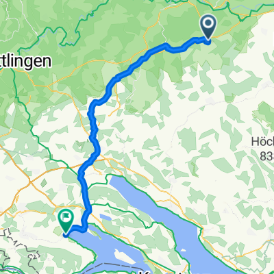
 Hauptstraße, Krauchenwies nach Leonhardstraße, Stockach
- Distance
- 42.5 km
- Ascent
- 341 m
- Descent
- 508 m
- Location
- Krauchenwies, Baden-Wurttemberg, Germany
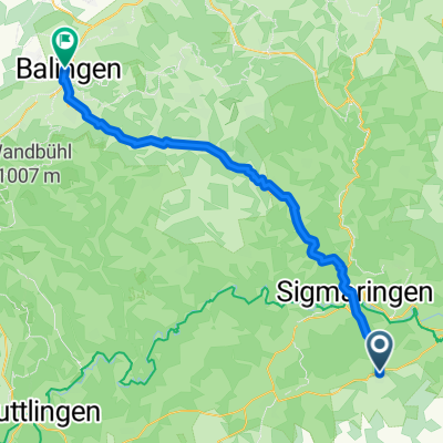 Hauptstraße, Krauchenwies nach Bahnhofstraße, Balingen
- Distance
- 53.2 km
- Ascent
- 657 m
- Descent
- 721 m
- Location
- Krauchenwies, Baden-Wurttemberg, Germany
 Kwies/Rosna/Weihwang/Göggingen
- Distance
- 42.4 km
- Ascent
- 484 m
- Descent
- 483 m
- Location
- Krauchenwies, Baden-Wurttemberg, Germany
Open it in the app