Kühkopfrunde 2019
- 59.9 km
- 67 m
- 65 m
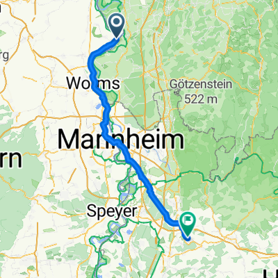
- Gernsheim, Hesse, Germany
A cycling route starting in Gernsheim, Hesse, Germany.
Overview
This year’s Father’s Day ride wasn’t dotted with beer gardens but with lots of nature. It went along the Rhine. From Gernsheim on the right side heading south to Worms. Lots of floodplain landscape along the way. Very beautiful. In Worms, then over the Nibelungen Bridge to the left bank of the Rhine and northward to the ferry to Gernsheim. Here we crossed again and returned to the motorhome. #noebike
created this 5 years ago


Route quality
Track
19.6 km
(48 %)
Access road
6.1 km
(15 %)
Paved
12.7 km
(31 %)
Unpaved
22.9 km
(56 %)
Asphalt
10.6 km
(26 %)
Ground
7.8 km
(19 %)
Continue with Bikemap
You would like to ride Vatertagsrunde or customize it for your own trip? Here is what you can do with this Bikemap route:
Free trial for 3 days, or one-time payment. More about Bikemap Premium.
Discover more Premium features.
Get Bikemap PremiumFrom our community
Open it in the app