

Warszawa przez Grójec
A cycling route starting in Bieniewice, Masovian Voivodeship, Poland.
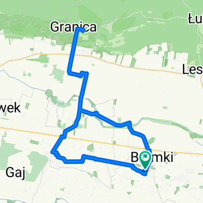
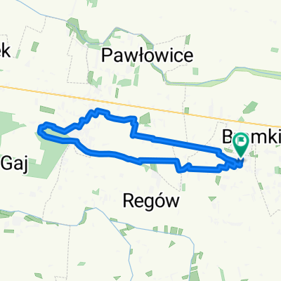
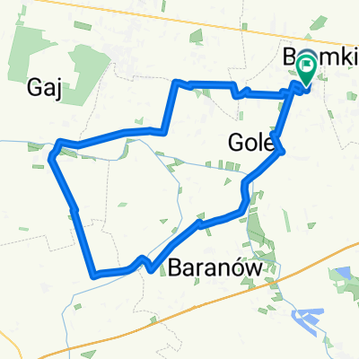
Overview
About this route
To Warsaw via Sochaczew, Żyrardów, Mszczonów, Grójec, Czersk, Góra Kalwaria, Otwock. On the way: Massa July 2010 (27 km). Attempt to break the record: a round 256 km in one day :)
Added on 30.07.2010: Attempt unsuccessful, but a new daily record is - 209 km.
- -:--
- Duration
- 205 km
- Distance
- 206 m
- Ascent
- 183 m
- Descent
- ---
- Avg. speed
- ---
- Max. altitude

Route highlights
Points of interest along the route
Point of interest after 204.6 km
Tu spotkałem Masę. Godzina 18:30. Stan licznika 180 km
Point of interest after 205 km
W-wa Powiśle i pociąg do domu.
Continue with Bikemap
Use, edit, or download this cycling route
You would like to ride Warszawa przez Grójec or customize it for your own trip? Here is what you can do with this Bikemap route:
Free features
- Save this route as favorite or in collections
- Copy & plan your own version of this route
- Split it into stages to create a multi-day tour
- Sync your route with Garmin or Wahoo
Premium features
Free trial for 3 days, or one-time payment. More about Bikemap Premium.
- Navigate this route on iOS & Android
- Export a GPX / KML file of this route
- Create your custom printout (try it for free)
- Download this route for offline navigation
Discover more Premium features.
Get Bikemap PremiumFrom our community
Other popular routes starting in Bieniewice
 01 FDM Boża Wola 26
- Distance
- 39.3 km
- Ascent
- 44 m
- Descent
- 45 m
- Location
- Bieniewice, Masovian Voivodeship, Poland
 Wyszogród
- Distance
- 90.4 km
- Ascent
- 79 m
- Descent
- 78 m
- Location
- Bieniewice, Masovian Voivodeship, Poland
 03 FDM Boża Wola 26
- Distance
- 45.1 km
- Ascent
- 69 m
- Descent
- 70 m
- Location
- Bieniewice, Masovian Voivodeship, Poland
 02 FDM Boża Wola 26
- Distance
- 23.1 km
- Ascent
- 35 m
- Descent
- 36 m
- Location
- Bieniewice, Masovian Voivodeship, Poland
 Warszawa przez Grójec
- Distance
- 205 km
- Ascent
- 206 m
- Descent
- 183 m
- Location
- Bieniewice, Masovian Voivodeship, Poland
 EGZAMIN BOŻA WOLA 26
- Distance
- 1.1 km
- Ascent
- 0 m
- Descent
- 4 m
- Location
- Bieniewice, Masovian Voivodeship, Poland
 04 FDM BW 2026
- Distance
- 32.4 km
- Ascent
- 13 m
- Descent
- 16 m
- Location
- Bieniewice, Masovian Voivodeship, Poland
 Dom-Płock-Włocławek-Płock-Dom
- Distance
- 245.5 km
- Ascent
- 129 m
- Descent
- 129 m
- Location
- Bieniewice, Masovian Voivodeship, Poland
Open it in the app