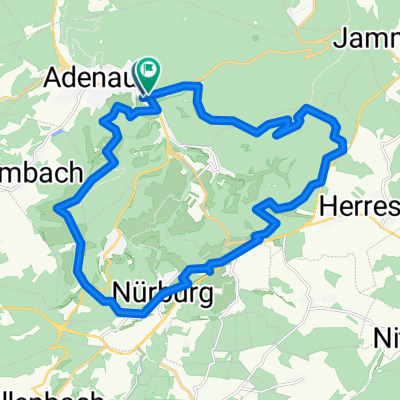
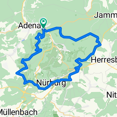
Nürburgring (Grüne Hölle)
- 25.4 km
- 544 m
- 544 m
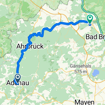
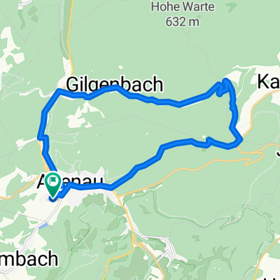
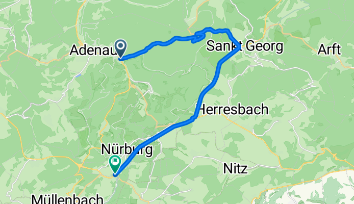
- Adenau, Rhineland-Palatinate, Germany
A cycling route starting in Adenau, Rhineland-Palatinate, Germany.
Overview
Route quality
Track
2.1 km
(13 %)
Quiet road
1.1 km
(7 %)
Paved
14.7 km
(92 %)
Unpaved
0.3 km
(2 %)
Asphalt
14.7 km
(92 %)
Unpaved (undefined)
0.2 km
(1 %)
Continue with Bikemap
You would like to ride Hohe Acht or customize it for your own trip? Here is what you can do with this Bikemap route:
Free trial for 3 days, or one-time payment. More about Bikemap Premium.
Discover more Premium features.
Get Bikemap PremiumFrom our community
Open it in the app