Poiana Ruscă 3
- 94.6 km
- 1,160 m
- 1,161 m
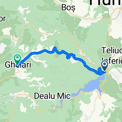
- Teliucu Inferior, Hunedoara County, Romania
A cycling route starting in Teliucu Inferior, Hunedoara County, Romania.
Overview
created this 5 years ago
Route quality
Quiet road
3.4 km
(17 %)
Path
0.2 km
(1 %)
Undefined
16.5 km
(82 %)
Paved
17.4 km
(86 %)
Unpaved
2.6 km
(13 %)
Asphalt
16.9 km
(84 %)
Unpaved (undefined)
2.6 km
(13 %)
Continue with Bikemap
You would like to ride Teliuc 1 or customize it for your own trip? Here is what you can do with this Bikemap route:
Free trial for 3 days, or one-time payment. More about Bikemap Premium.
Discover more Premium features.
Get Bikemap PremiumFrom our community
Open it in the app