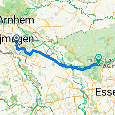
Berg en Dal (15km)
- 15 km
- 158 m
- 156 m
- Berg en Dal, Gelderland, The Netherlands
A cycling route starting in Berg en Dal, Gelderland, The Netherlands.
Overview
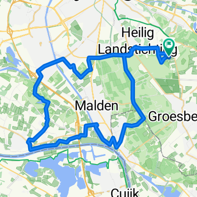
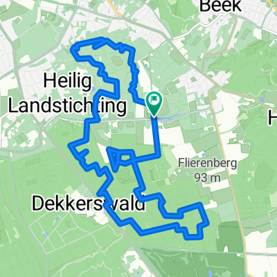
Maximum climbing and descending on the Netherlands' southernmost terminal moraine, the hills of the Rijk van Nijmegen. Klim bij Nijmegen Avondrood is 55 km long and features 650 metres of elevation spread over 21 ascents. For untrained cyclists this route is not the best choice, as the recovery time between climbs is intentionally minimal. The distilled climbing intensity is half again as high as on more natural routes like Klim bij Nijmegen Toerist. The gap-force is two to three times higher. *Climbs rated on the UFL scale 1-12 - Start at Hostellerie Rozenhof – Nijmeegsebaan 114, 6564 CK Heilig Landstichting.
created this 5 years ago
Route quality
Quiet road
22.2 km
(40 %)
Cycleway
18.3 km
(33 %)
Paved
37.1 km
(67 %)
Asphalt
33.8 km
(61 %)
Concrete
2.8 km
(5 %)
Continue with Bikemap
You would like to ride Klim bij Nijmegen Avondrood or customize it for your own trip? Here is what you can do with this Bikemap route:
Free trial for 3 days, or one-time payment. More about Bikemap Premium.
Discover more Premium features.
Get Bikemap PremiumFrom our community
Open it in the app