

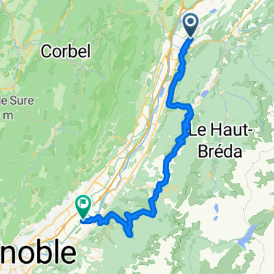
Pontcharra - ST Nazaire les Eymes
A cycling route starting in Pontcharra, Auvergne-Rhône-Alpes, France.
Overview
About this route
- -:--
- Duration
- 64.2 km
- Distance
- 1,002 m
- Ascent
- 1,002 m
- Descent
- ---
- Avg. speed
- ---
- Max. altitude

Route quality
Waytypes & surfaces along the route
Waytypes
Road
16 km
(25 %)
Quiet road
7.7 km
(12 %)
Surfaces
Paved
50.1 km
(78 %)
Unpaved
0.6 km
(1 %)
Asphalt
48.8 km
(76 %)
Paved (undefined)
0.6 km
(1 %)
Continue with Bikemap
Use, edit, or download this cycling route
You would like to ride Pontcharra - ST Nazaire les Eymes or customize it for your own trip? Here is what you can do with this Bikemap route:
Free features
- Save this route as favorite or in collections
- Copy & plan your own version of this route
- Sync your route with Garmin or Wahoo
Premium features
Free trial for 3 days, or one-time payment. More about Bikemap Premium.
- Navigate this route on iOS & Android
- Export a GPX / KML file of this route
- Create your custom printout (try it for free)
- Download this route for offline navigation
Discover more Premium features.
Get Bikemap PremiumFrom our community
Other popular routes starting in Pontcharra
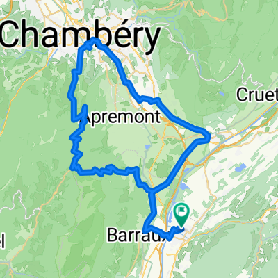
 Coteaux de Savoie 270311
- Distance
- 93.1 km
- Ascent
- 1,065 m
- Descent
- 1,065 m
- Location
- Pontcharra, Auvergne-Rhône-Alpes, France
 Bathie
- Distance
- 57.1 km
- Ascent
- 1,823 m
- Descent
- 1,859 m
- Location
- Pontcharra, Auvergne-Rhône-Alpes, France
 mont granier
- Distance
- 59.6 km
- Ascent
- 1,080 m
- Descent
- 1,080 m
- Location
- Pontcharra, Auvergne-Rhône-Alpes, France
 Pontcharra - ST Nazaire les Eymes
- Distance
- 64.2 km
- Ascent
- 1,002 m
- Descent
- 1,002 m
- Location
- Pontcharra, Auvergne-Rhône-Alpes, France
 le col de Champlaurent variante "la table"
- Distance
- 52.2 km
- Ascent
- 917 m
- Descent
- 917 m
- Location
- Pontcharra, Auvergne-Rhône-Alpes, France
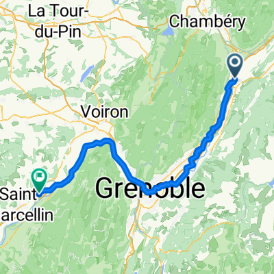 Pontcharra - Vinay
- Distance
- 89.9 km
- Ascent
- 400 m
- Descent
- 350 m
- Location
- Pontcharra, Auvergne-Rhône-Alpes, France
 La Chartreuse dans tous les sens
- Distance
- 142.6 km
- Ascent
- 3,564 m
- Descent
- 3,564 m
- Location
- Pontcharra, Auvergne-Rhône-Alpes, France
 Tour La Rochette
- Distance
- 38.6 km
- Ascent
- 486 m
- Descent
- 489 m
- Location
- Pontcharra, Auvergne-Rhône-Alpes, France
Open it in the app