

Trasa/Route 29 | mtbliptov.bike
A cycling route starting in Liptovský Hrádok, Žilina Region, Slovakia.
Overview
About this route
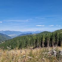
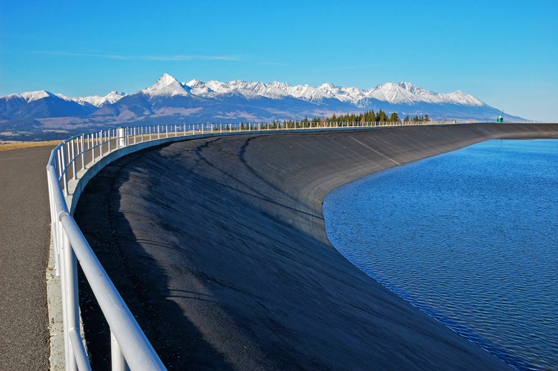
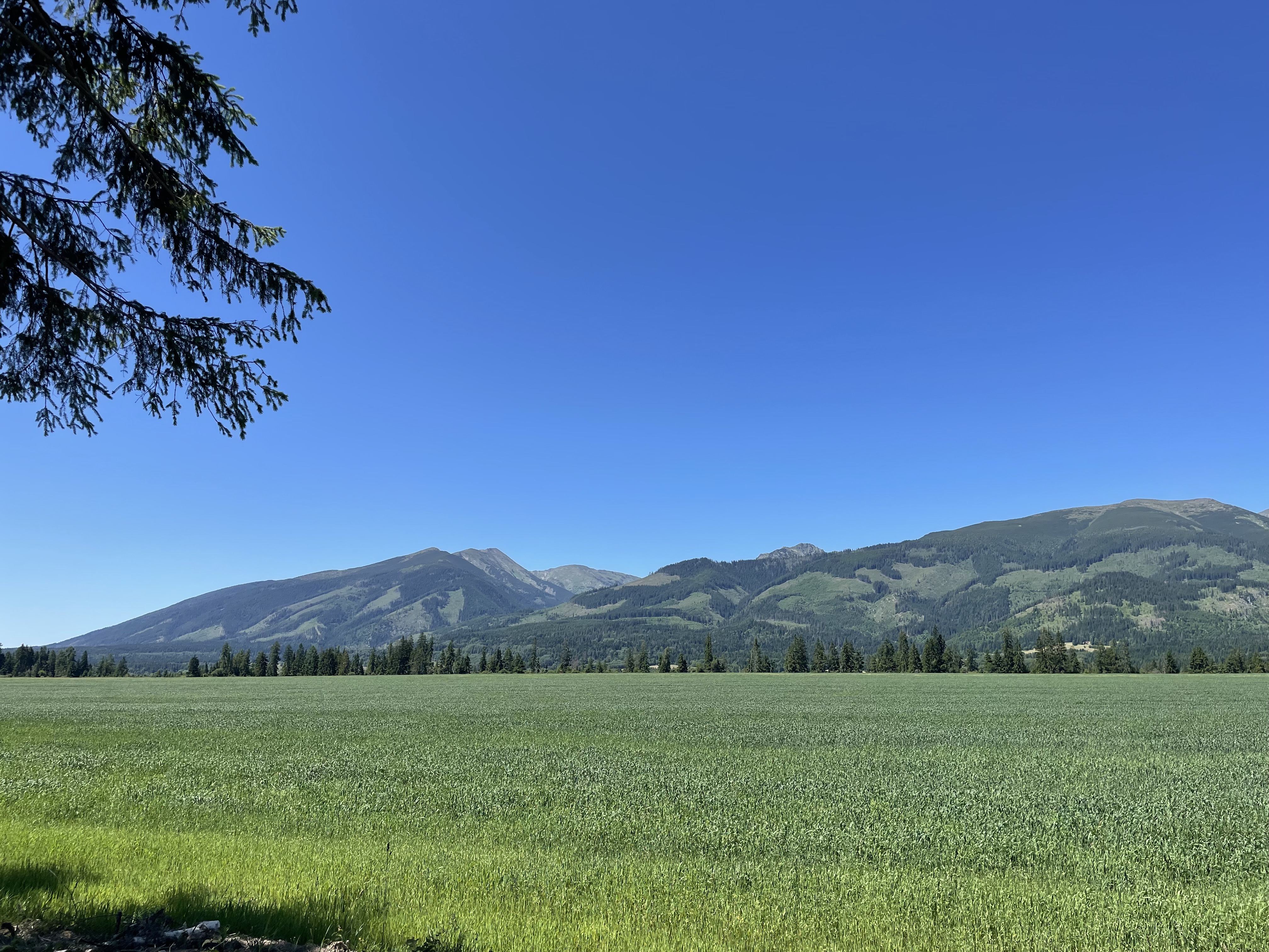
Liptovský Ján, Podtureň, Liptovský Hrádok, Kráľova Lehota, Svarín, Čiarny Váh, Ipoltica NP Nízke Tatry, VN Lacková, Driečna dolina NP Nízke Tatry, Sedlo pod Veľkým Bokom, Dolina Hodruša, Malužinská dolina, Malužinský Tajch, Malužiná, Svidovská dolina, Sedlo Črchľa, Nižná Boca, Svidovské sedlo, Jánska dolina, Liptovský Ján
- -:--
- Duration
- 116.3 km
- Distance
- 2,438 m
- Ascent
- 2,442 m
- Descent
- ---
- Avg. speed
- ---
- Max. altitude

Continue with Bikemap
Use, edit, or download this cycling route
You would like to ride Trasa/Route 29 | mtbliptov.bike or customize it for your own trip? Here is what you can do with this Bikemap route:
Free features
- Save this route as favorite or in collections
- Copy & plan your own version of this route
- Split it into stages to create a multi-day tour
- Sync your route with Garmin or Wahoo
Premium features
Free trial for 3 days, or one-time payment. More about Bikemap Premium.
- Navigate this route on iOS & Android
- Export a GPX / KML file of this route
- Create your custom printout (try it for free)
- Download this route for offline navigation
Discover more Premium features.
Get Bikemap PremiumFrom our community
Other popular routes starting in Liptovský Hrádok
 2025-08-28_Liptovský Ján dolina
- Distance
- 43.9 km
- Ascent
- 1,575 m
- Descent
- 1,577 m
- Location
- Liptovský Hrádok, Žilina Region, Slovakia
 Liptovský Hrádok- Čierny Váh Kráľová Lehota-Liptovský Hrádok.
- Distance
- 60.5 km
- Ascent
- 1,969 m
- Descent
- 1,969 m
- Location
- Liptovský Hrádok, Žilina Region, Slovakia
 Belanská, Liptovský Hrádok to Slovenského Národného Povstania, Liptovský Hrádok
- Distance
- 45.9 km
- Ascent
- 620 m
- Descent
- 621 m
- Location
- Liptovský Hrádok, Žilina Region, Slovakia
 Trasa/Route 13 | mtbliptov.bike
- Distance
- 48 km
- Ascent
- 1,225 m
- Descent
- 1,225 m
- Location
- Liptovský Hrádok, Žilina Region, Slovakia
 Trasa/Route 44 | mtbliptov.bike
- Distance
- 85.7 km
- Ascent
- 1,923 m
- Descent
- 1,923 m
- Location
- Liptovský Hrádok, Žilina Region, Slovakia
 Trasa I
- Distance
- 43.1 km
- Ascent
- 1,044 m
- Descent
- 1,047 m
- Location
- Liptovský Hrádok, Žilina Region, Slovakia
 Liptovsky Jan Nadrz Vah
- Distance
- 24.1 km
- Ascent
- 640 m
- Descent
- 116 m
- Location
- Liptovský Hrádok, Žilina Region, Slovakia
 Liptovský Hrádok Cycling
- Distance
- 35.6 km
- Ascent
- 1,104 m
- Descent
- 848 m
- Location
- Liptovský Hrádok, Žilina Region, Slovakia
Open it in the app