

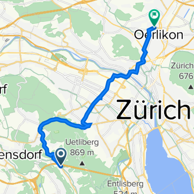
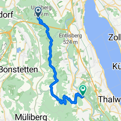
X12_Reppisch_EWyss_Oerli
A cycling route starting in Sellenbüren, Canton of Zurich, Switzerland.
Overview
About this route
gefahren in die Ritg Reppisch - Oerli, korrigiert
-
die Punkte ab Triemli sind nötig
-
Rosengarten: "links rum" via Röschibachstr besser als Hönggerstr, Topografie.
-
neu: Scheffelstr statt Lägernstr und Rötelstr, noch zu validieren
-
originelle Strecke via Sophie-Taeuber ist quatsch, gelöscht
- -:--
- Duration
- 13.4 km
- Distance
- 137 m
- Ascent
- 242 m
- Descent
- ---
- Avg. speed
- ---
- Max. altitude
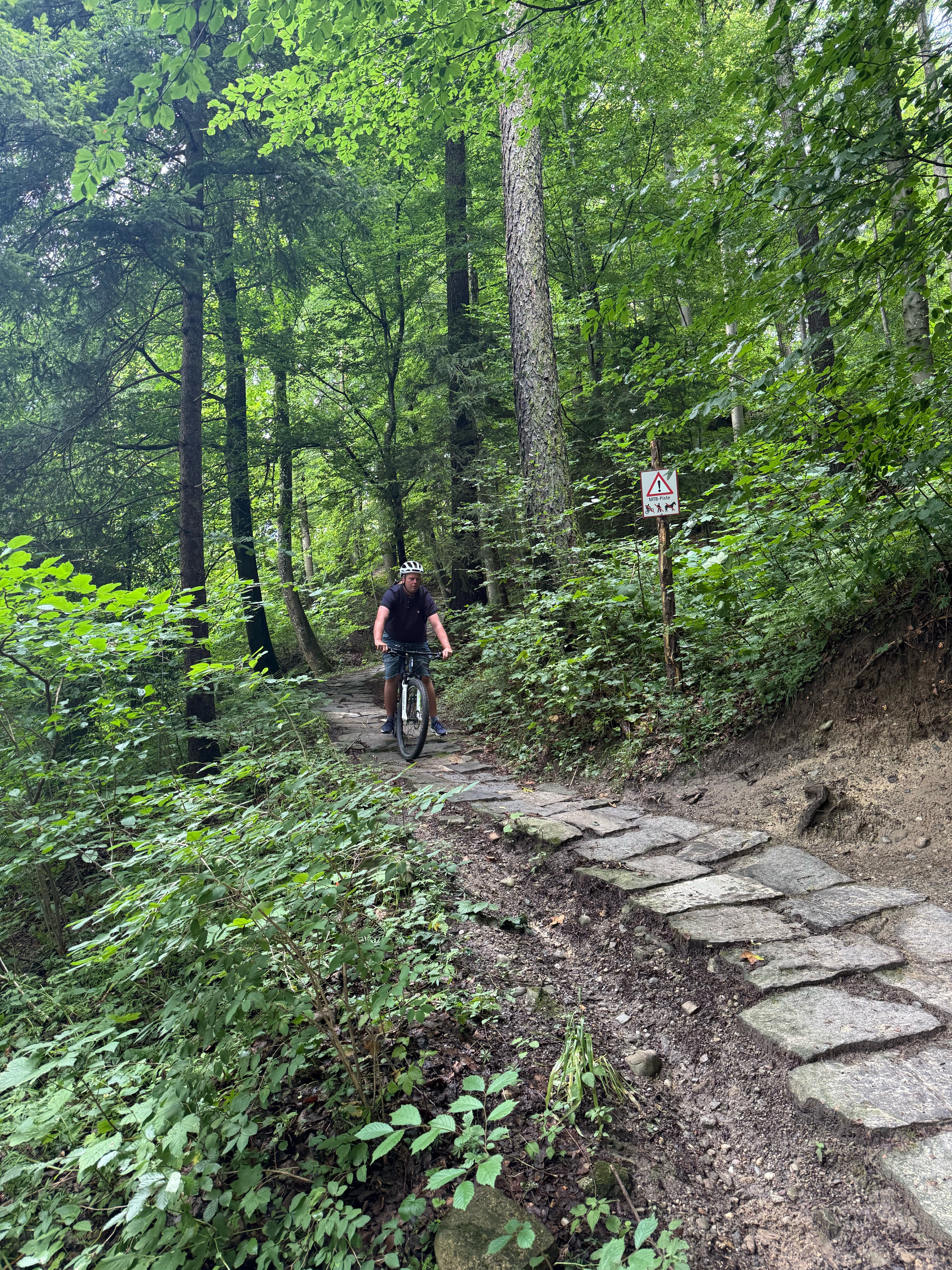
Route quality
Waytypes & surfaces along the route
Waytypes
Busy road
6.8 km
(51 %)
Road
3.5 km
(26 %)
Surfaces
Paved
13.4 km
(99 %)
Unpaved
0.1 km
(<1 %)
Asphalt
13.4 km
(99 %)
Loose gravel
0.1 km
(<1 %)
Undefined
0 km
(<1 %)
Continue with Bikemap
Use, edit, or download this cycling route
You would like to ride X12_Reppisch_EWyss_Oerli or customize it for your own trip? Here is what you can do with this Bikemap route:
Free features
- Save this route as favorite or in collections
- Copy & plan your own version of this route
- Sync your route with Garmin or Wahoo
Premium features
Free trial for 3 days, or one-time payment. More about Bikemap Premium.
- Navigate this route on iOS & Android
- Export a GPX / KML file of this route
- Create your custom printout (try it for free)
- Download this route for offline navigation
Discover more Premium features.
Get Bikemap PremiumFrom our community
Other popular routes starting in Sellenbüren
 Stallikon - Baldeggersee - Sempach - Sins - Stallikon
- Distance
- 108.5 km
- Ascent
- 1,112 m
- Descent
- 1,115 m
- Location
- Sellenbüren, Canton of Zurich, Switzerland
 X12_Reppisch_EWyss_Oerli
- Distance
- 13.4 km
- Ascent
- 137 m
- Descent
- 242 m
- Location
- Sellenbüren, Canton of Zurich, Switzerland
 Uetliberg, Uetliberg to Kloster Fahr Weg, Zürich
- Distance
- 8.5 km
- Ascent
- 44 m
- Descent
- 499 m
- Location
- Sellenbüren, Canton of Zurich, Switzerland
 Tour d'Argovia
- Distance
- 103.3 km
- Ascent
- 1,525 m
- Descent
- 1,523 m
- Location
- Sellenbüren, Canton of Zurich, Switzerland
 Zürich Albispass
- Distance
- 13.6 km
- Ascent
- 438 m
- Descent
- 573 m
- Location
- Sellenbüren, Canton of Zurich, Switzerland
 ant 1
ant 1- Distance
- 2 km
- Ascent
- 4 m
- Descent
- 183 m
- Location
- Sellenbüren, Canton of Zurich, Switzerland
 Uetliberg, Zürich to Obstgartenweg 10, Langnau am Albis
- Distance
- 13.2 km
- Ascent
- 216 m
- Descent
- 575 m
- Location
- Sellenbüren, Canton of Zurich, Switzerland
 Uetliberg 8143, Stallikon nach Triemlihalde 3, Zürich
- Distance
- 3.3 km
- Ascent
- 59 m
- Descent
- 423 m
- Location
- Sellenbüren, Canton of Zurich, Switzerland
Open it in the app