
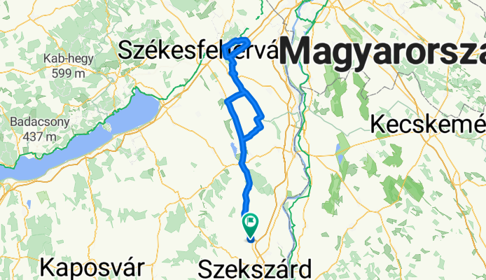
Velencei tó kerülés
A cycling route starting in Szedres, Tolna County, Hungary.
Overview
About this route
.Easy tour, without significant climbs.
- -:--
- Duration
- 212.1 km
- Distance
- 261 m
- Ascent
- 259 m
- Descent
- ---
- Avg. speed
- ---
- Max. altitude

Route quality
Waytypes & surfaces along the route
Waytypes
Quiet road
25.4 km
(12 %)
Track
21.2 km
(10 %)
Surfaces
Paved
116.6 km
(55 %)
Unpaved
4.2 km
(2 %)
Asphalt
97.6 km
(46 %)
Paved (undefined)
19.1 km
(9 %)
Continue with Bikemap
Use, edit, or download this cycling route
You would like to ride Velencei tó kerülés or customize it for your own trip? Here is what you can do with this Bikemap route:
Free features
- Save this route as favorite or in collections
- Copy & plan your own version of this route
- Split it into stages to create a multi-day tour
- Sync your route with Garmin or Wahoo
Premium features
Free trial for 3 days, or one-time payment. More about Bikemap Premium.
- Navigate this route on iOS & Android
- Export a GPX / KML file of this route
- Create your custom printout (try it for free)
- Download this route for offline navigation
Discover more Premium features.
Get Bikemap PremiumFrom our community
Other popular routes starting in Szedres
 Szedres - Komló - Pécs Misina tető
- Distance
- 89 km
- Ascent
- 881 m
- Descent
- 571 m
- Location
- Szedres, Tolna County, Hungary
 Nagy edzőkör Tengelic-Kölesd
- Distance
- 37.1 km
- Ascent
- 179 m
- Descent
- 187 m
- Location
- Szedres, Tolna County, Hungary
 Szedres-Sióvölgye-Paks-Baja-Gemenc-Szekszárd Szedres
- Distance
- 165 km
- Ascent
- 259 m
- Descent
- 259 m
- Location
- Szedres, Tolna County, Hungary
 Szedres-Tengelic-Kölesd-Medina-Szedres
- Distance
- 37.2 km
- Ascent
- 395 m
- Descent
- 390 m
- Location
- Szedres, Tolna County, Hungary
 Edzőkör Szedres -Paks-Kalocsa-Szekszárdi híd- Szekszárd-Szedres
- Distance
- 128.8 km
- Ascent
- 86 m
- Descent
- 85 m
- Location
- Szedres, Tolna County, Hungary
 Kölesd kör
- Distance
- 82.3 km
- Ascent
- 681 m
- Descent
- 680 m
- Location
- Szedres, Tolna County, Hungary
 Velencei tó kerülés
- Distance
- 212.1 km
- Ascent
- 261 m
- Descent
- 259 m
- Location
- Szedres, Tolna County, Hungary
 Szedres-Hőgyész-Gyönk-Kölesd
- Distance
- 67.3 km
- Ascent
- 462 m
- Descent
- 462 m
- Location
- Szedres, Tolna County, Hungary
Open it in the app