
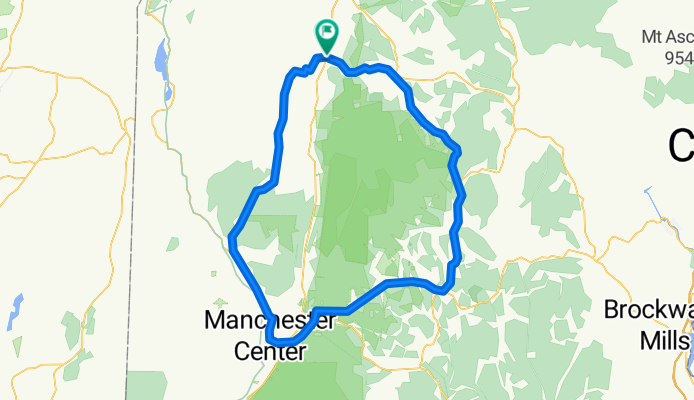
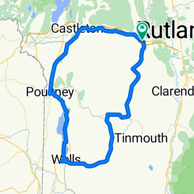
Green Mountains Walllingford
A cycling route starting in West Rutland, Vermont, United States of America.
Overview
About this route
- -:--
- Duration
- 104.8 km
- Distance
- 1,281 m
- Ascent
- 1,271 m
- Descent
- ---
- Avg. speed
- ---
- Max. altitude
Route quality
Waytypes & surfaces along the route
Waytypes
Busy road
72.1 km
(69 %)
Quiet road
12 km
(11 %)
Surfaces
Paved
86.5 km
(83 %)
Unpaved
8.8 km
(8 %)
Asphalt
86.4 km
(82 %)
Gravel
8.8 km
(8 %)
Continue with Bikemap
Use, edit, or download this cycling route
You would like to ride Green Mountains Walllingford or customize it for your own trip? Here is what you can do with this Bikemap route:
Free features
- Save this route as favorite or in collections
- Copy & plan your own version of this route
- Split it into stages to create a multi-day tour
- Sync your route with Garmin or Wahoo
Premium features
Free trial for 3 days, or one-time payment. More about Bikemap Premium.
- Navigate this route on iOS & Android
- Export a GPX / KML file of this route
- Create your custom printout (try it for free)
- Download this route for offline navigation
Discover more Premium features.
Get Bikemap PremiumFrom our community
Other popular routes starting in West Rutland
 Easy ride in
- Distance
- 6.4 km
- Ascent
- 47 m
- Descent
- 26 m
- Location
- West Rutland, Vermont, United States of America
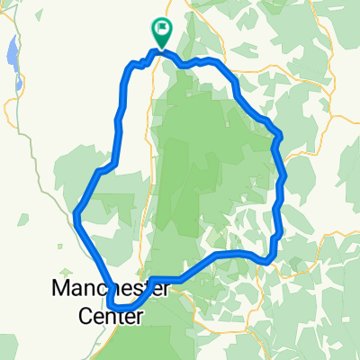
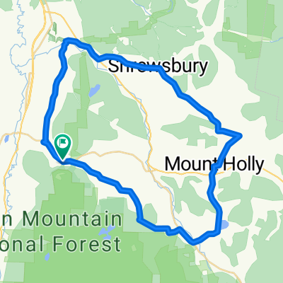 Wallingford w/ Tommy
- Distance
- 42.9 km
- Ascent
- 753 m
- Descent
- 767 m
- Location
- West Rutland, Vermont, United States of America
 Walker Mtn
- Distance
- 27 km
- Ascent
- 377 m
- Descent
- 363 m
- Location
- West Rutland, Vermont, United States of America
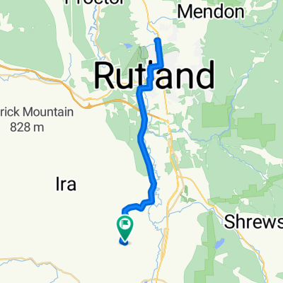
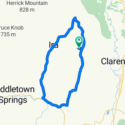 Ira/Tinmouth
- Distance
- 25.5 km
- Ascent
- 394 m
- Descent
- 396 m
- Location
- West Rutland, Vermont, United States of America
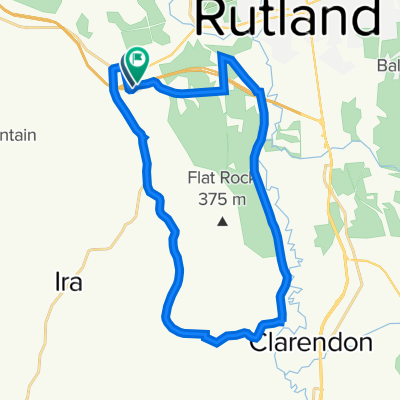
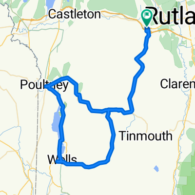
 35 Marble St, West Rutland to 35 Marble St, West Rutland
- Distance
- 72.6 km
- Ascent
- 987 m
- Descent
- 985 m
- Location
- West Rutland, Vermont, United States of America
 Green Mountains Walllingford
- Distance
- 104.8 km
- Ascent
- 1,281 m
- Descent
- 1,271 m
- Location
- West Rutland, Vermont, United States of America
 368 E Tinmouth Rd, West Rutland to 368 E Tinmouth Rd, West Rutland
- Distance
- 85.4 km
- Ascent
- 1,032 m
- Descent
- 1,026 m
- Location
- West Rutland, Vermont, United States of America
 35 Marble St, West Rutland to 35 Marble St, West Rutland
- Distance
- 79.9 km
- Ascent
- 1,234 m
- Descent
- 1,232 m
- Location
- West Rutland, Vermont, United States of America
Open it in the app