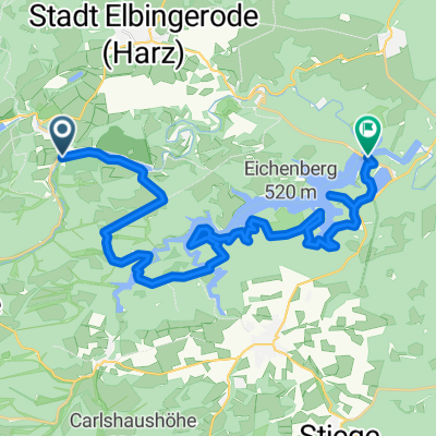
Zillierbachtalsperre nach Unterer Kahlenberg
- 12.2 km
- 190 m
- 228 m
- Elbingerode, Saxony-Anhalt, Germany
A cycling route starting in Elbingerode, Saxony-Anhalt, Germany.
Overview
Tour length: approx. 36 km, elevation gain approx. 920 m, riding time 2 hrs 45 mins Total time including breaks for refreshments and photos: 4 hrs From the parking lot of the Brockenbahn in Drei Annen Hohne, we take the MTB signs for the "Volksbankarena Harz" Route 9 (also the Harzer Hexenstieg) initially towards the summit of Brocken. The 12 km consist of two-thirds gravel/trail and one-third asphalt (Brockenstraße). From the summit downhill, partly with a 20% gradient, to the ranger station Scharfenstein, here we have already left Route 9 and follow Route 10 over stones and roots to the Eckertalsperre. Photo shoot towards Brocken. Return on the same path and at the ranger station Scharfenstein, from here only on gravel, along Route 7 in a constant gentle downhill and uphill to the Stempelsbuche. Here we rejoin Route 9. Over the Molkenhausstern and the Chassee A we continue on gravel back to Drei Annen Hohne.
Tip: If you start the tour at 06:30 in Drei Annen Hohne, you will be alone on Brocken in the morning. Of course, the gastronomy is not yet open.
created this 15 years ago
Route quality
Track
26.4 km
(73 %)
Quiet road
7.9 km
(22 %)
Paved
5.8 km
(16 %)
Unpaved
30.3 km
(84 %)
Gravel
28.2 km
(78 %)
Asphalt
3.3 km
(9 %)
Continue with Bikemap
You would like to ride Über den Brockengipfel und Eckertalsperre zurück nach Drei Annen Hohne or customize it for your own trip? Here is what you can do with this Bikemap route:
Free trial for 3 days, or one-time payment. More about Bikemap Premium.
Discover more Premium features.
Get Bikemap PremiumFrom our community
Open it in the app