

Meßkirch-Donau-Ablach-Meßkirch
A cycling route starting in Messkirch, Baden-Wurttemberg, Germany.
Overview
About this route
- -:--
- Duration
- 50 km
- Distance
- 183 m
- Ascent
- 184 m
- Descent
- ---
- Avg. speed
- ---
- Max. altitude

Route quality
Waytypes & surfaces along the route
Waytypes
Quiet road
13.5 km
(27 %)
Track
13 km
(26 %)
Surfaces
Paved
40 km
(80 %)
Unpaved
2.5 km
(5 %)
Asphalt
36.5 km
(73 %)
Paved (undefined)
3.5 km
(7 %)
Continue with Bikemap
Use, edit, or download this cycling route
You would like to ride Meßkirch-Donau-Ablach-Meßkirch or customize it for your own trip? Here is what you can do with this Bikemap route:
Free features
- Save this route as favorite or in collections
- Copy & plan your own version of this route
- Sync your route with Garmin or Wahoo
Premium features
Free trial for 3 days, or one-time payment. More about Bikemap Premium.
- Navigate this route on iOS & Android
- Export a GPX / KML file of this route
- Create your custom printout (try it for free)
- Download this route for offline navigation
Discover more Premium features.
Get Bikemap PremiumFrom our community
Other popular routes starting in Messkirch
 Moderate Route in Meßkirch
- Distance
- 15.6 km
- Ascent
- 136 m
- Descent
- 137 m
- Location
- Messkirch, Baden-Wurttemberg, Germany
 Meßkirch-Donau-Ablach-Meßkirch
- Distance
- 50 km
- Ascent
- 183 m
- Descent
- 184 m
- Location
- Messkirch, Baden-Wurttemberg, Germany
 Meßkirch nach Überlingen
- Distance
- 40.4 km
- Ascent
- 343 m
- Descent
- 562 m
- Location
- Messkirch, Baden-Wurttemberg, Germany
 messkirch-heudorf-rohrdorf-messkirch
- Distance
- 18.2 km
- Ascent
- 153 m
- Descent
- 172 m
- Location
- Messkirch, Baden-Wurttemberg, Germany
 Kapfweg 2, Meßkirch nach Kapfweg 2, Meßkirch
- Distance
- 34.5 km
- Ascent
- 374 m
- Descent
- 378 m
- Location
- Messkirch, Baden-Wurttemberg, Germany
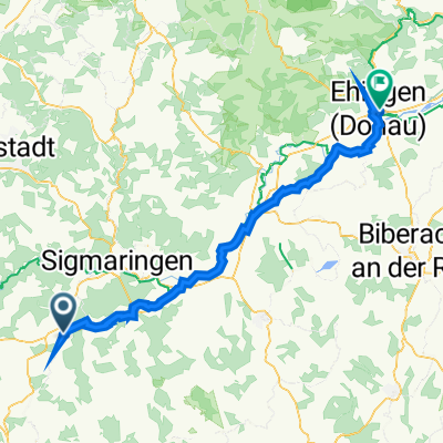 Hauptstraße 15, Meßkirch to Lindenstraße 28, Ehingen
- Distance
- 75.8 km
- Ascent
- 1,929 m
- Descent
- 2,018 m
- Location
- Messkirch, Baden-Wurttemberg, Germany
 Super Route
- Distance
- 37 km
- Ascent
- 217 m
- Descent
- 217 m
- Location
- Messkirch, Baden-Wurttemberg, Germany
 Meßkirch- Höllsteige, Rennrad
- Distance
- 60.3 km
- Ascent
- 524 m
- Descent
- 524 m
- Location
- Messkirch, Baden-Wurttemberg, Germany
Open it in the app