Bad Windsheim
- 67.1 km
- 185 m
- 190 m
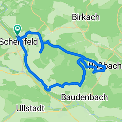
- Scheinfeld, Bavaria, Germany
A cycling route starting in Scheinfeld, Bavaria, Germany.
Overview
created this 5 years ago
Route quality
Track
19.8 km
(71 %)
Quiet road
5 km
(18 %)
Paved
3.1 km
(11 %)
Unpaved
17 km
(61 %)
Ground
7 km
(25 %)
Unpaved (undefined)
5.3 km
(19 %)
Continue with Bikemap
You would like to ride Gesundheitsquelle Baudenbach or customize it for your own trip? Here is what you can do with this Bikemap route:
Free trial for 3 days, or one-time payment. More about Bikemap Premium.
Discover more Premium features.
Get Bikemap PremiumFrom our community
Open it in the app