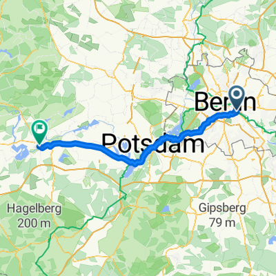
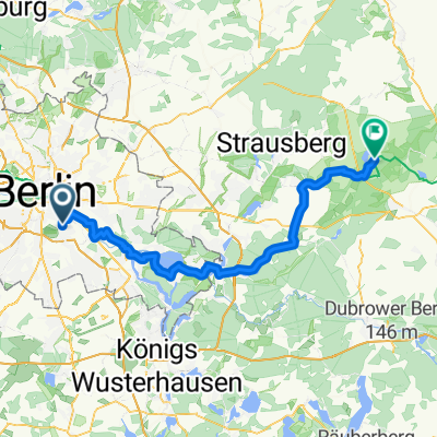
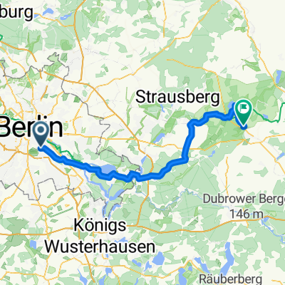
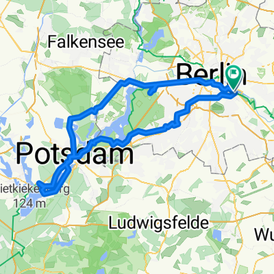
Hermannplatz – Spandau – Havelchaussee – Wilmersdorfer Fenn
A cycling route starting in Treptow, State of Berlin, Germany.
Overview
About this route
- -:--
- Duration
- 58.8 km
- Distance
- 160 m
- Ascent
- 155 m
- Descent
- ---
- Avg. speed
- ---
- Max. altitude
Route quality
Waytypes & surfaces along the route
Waytypes
Quiet road
12.4 km
(21 %)
Road
10.1 km
(17 %)
Surfaces
Paved
46.6 km
(79 %)
Unpaved
4.8 km
(8 %)
Asphalt
40.6 km
(69 %)
Paving stones
4 km
(7 %)
Continue with Bikemap
Use, edit, or download this cycling route
You would like to ride Hermannplatz – Spandau – Havelchaussee – Wilmersdorfer Fenn or customize it for your own trip? Here is what you can do with this Bikemap route:
Free features
- Save this route as favorite or in collections
- Copy & plan your own version of this route
- Sync your route with Garmin or Wahoo
Premium features
Free trial for 3 days, or one-time payment. More about Bikemap Premium.
- Navigate this route on iOS & Android
- Export a GPX / KML file of this route
- Create your custom printout (try it for free)
- Download this route for offline navigation
Discover more Premium features.
Get Bikemap PremiumFrom our community
Other popular routes starting in Treptow
- East Side Gallery – Rathaus Spandau
- Distance
- 25.9 km
- Ascent
- 92 m
- Descent
- 88 m
- Location
- Treptow, State of Berlin, Germany
- Feierabendrunde: Berlin-KW-Berlin
- Distance
- 43.3 km
- Ascent
- 47 m
- Descent
- 47 m
- Location
- Treptow, State of Berlin, Germany
- Kreuzberg - Grünau (fast) ohne Autos
- Distance
- 17.4 km
- Ascent
- 8 m
- Descent
- 11 m
- Location
- Treptow, State of Berlin, Germany
- Radtour Berlin 2020
- Distance
- 14.2 km
- Ascent
- 64 m
- Descent
- 66 m
- Location
- Treptow, State of Berlin, Germany
- Sunsetherbstrunde
- Distance
- 35.4 km
- Ascent
- 38 m
- Descent
- 34 m
- Location
- Treptow, State of Berlin, Germany
- Rund um Schönefeld
- Distance
- 48.5 km
- Ascent
- 73 m
- Descent
- 83 m
- Location
- Treptow, State of Berlin, Germany
- F'hain - Schöneweide - Gropiusstadt - Neukölln - F'hain
- Distance
- 26.4 km
- Ascent
- 31 m
- Descent
- 15 m
- Location
- Treptow, State of Berlin, Germany
- Privat Etappe 2
- Distance
- 37.2 km
- Ascent
- 75 m
- Descent
- 69 m
- Location
- Treptow, State of Berlin, Germany
Open it in the app