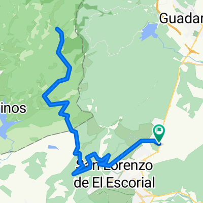
Tomillar - Peñas Blancas (cruce)
- 42.4 km
- 929 m
- 929 m
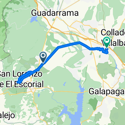
- El Escorial, Madrid, Spain
A cycling route starting in El Escorial, Madrid, Spain.
Overview
Stage that we held on August 1, 2010. First official stage of the cycling season.
created this 15 years ago
Route quality
Quiet road
30.9 km
(84 %)
Track
1.5 km
(4 %)
Paved
16.5 km
(45 %)
Unpaved
7.7 km
(21 %)
Asphalt
12.5 km
(34 %)
Unpaved (undefined)
6.2 km
(17 %)
Continue with Bikemap
You would like to ride Estación El Escorial - Abantos or customize it for your own trip? Here is what you can do with this Bikemap route:
Free trial for 3 days, or one-time payment. More about Bikemap Premium.
Discover more Premium features.
Get Bikemap PremiumFrom our community
Open it in the app