

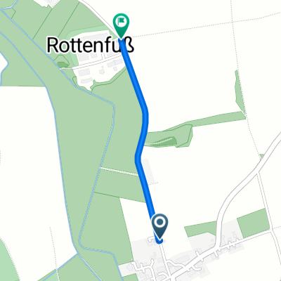
2020-06-01 Dachau Pöttmes 140 km
A cycling route starting in Egenhofen, Bavaria, Germany.
Overview
About this route
,
, , , , , , , AktivitätRadfahrenDistanz139 kmErstellt2020-06-01 10:18:36Max. Tempo54, 4 km/hPace (Min/Km)02:38 min/kmEnergieverbrauch42352 KJPunkte3935, , , Ges.Tempo > 0Tempo Ø22, 8 km/h25, 3 km/hTrackzeit6 h:06 min:29 sec5 h:30 min:03 sec, , Min. Höhe244 mMax. Höhe541 m, , , , HöhenmeterDistanzBergauf1753 m25104 mBergab-1754 m25401 mEbene0 m88673 m
,
- -:--
- Duration
- 135.8 km
- Distance
- 1,150 m
- Ascent
- 1,150 m
- Descent
- ---
- Avg. speed
- ---
- Max. altitude

Route quality
Waytypes & surfaces along the route
Waytypes
Road
57 km
(42 %)
Quiet road
40.7 km
(30 %)
Surfaces
Paved
99.1 km
(73 %)
Asphalt
99.1 km
(73 %)
Undefined
36.7 km
(27 %)
Continue with Bikemap
Use, edit, or download this cycling route
You would like to ride 2020-06-01 Dachau Pöttmes 140 km or customize it for your own trip? Here is what you can do with this Bikemap route:
Free features
- Save this route as favorite or in collections
- Copy & plan your own version of this route
- Split it into stages to create a multi-day tour
- Sync your route with Garmin or Wahoo
Premium features
Free trial for 3 days, or one-time payment. More about Bikemap Premium.
- Navigate this route on iOS & Android
- Export a GPX / KML file of this route
- Create your custom printout (try it for free)
- Download this route for offline navigation
Discover more Premium features.
Get Bikemap PremiumFrom our community
Other popular routes starting in Egenhofen
 RR 32km Egenburg-Nord
- Distance
- 32.2 km
- Ascent
- 166 m
- Descent
- 166 m
- Location
- Egenhofen, Bavaria, Germany
 Räuber Kneißl Radweg 4
- Distance
- 27.4 km
- Ascent
- 171 m
- Descent
- 173 m
- Location
- Egenhofen, Bavaria, Germany
 2009 Egenhofen - Maisach - Egenhofen
- Distance
- 44.5 km
- Ascent
- 152 m
- Descent
- 153 m
- Location
- Egenhofen, Bavaria, Germany
 RR 55KM Egenburg SW
- Distance
- 55 km
- Ascent
- 217 m
- Descent
- 217 m
- Location
- Egenhofen, Bavaria, Germany
 2009 Egenhofen - Maisach - Egenhofen
- Distance
- 44.4 km
- Ascent
- 151 m
- Descent
- 152 m
- Location
- Egenhofen, Bavaria, Germany
 test
test- Distance
- 0.7 km
- Ascent
- 0 m
- Descent
- 0 m
- Location
- Egenhofen, Bavaria, Germany
 MB 32kmNord
- Distance
- 31.5 km
- Ascent
- 163 m
- Descent
- 163 m
- Location
- Egenhofen, Bavaria, Germany
 RR 35km Egenb. Süd Ost
- Distance
- 34.2 km
- Ascent
- 149 m
- Descent
- 149 m
- Location
- Egenhofen, Bavaria, Germany
Open it in the app