

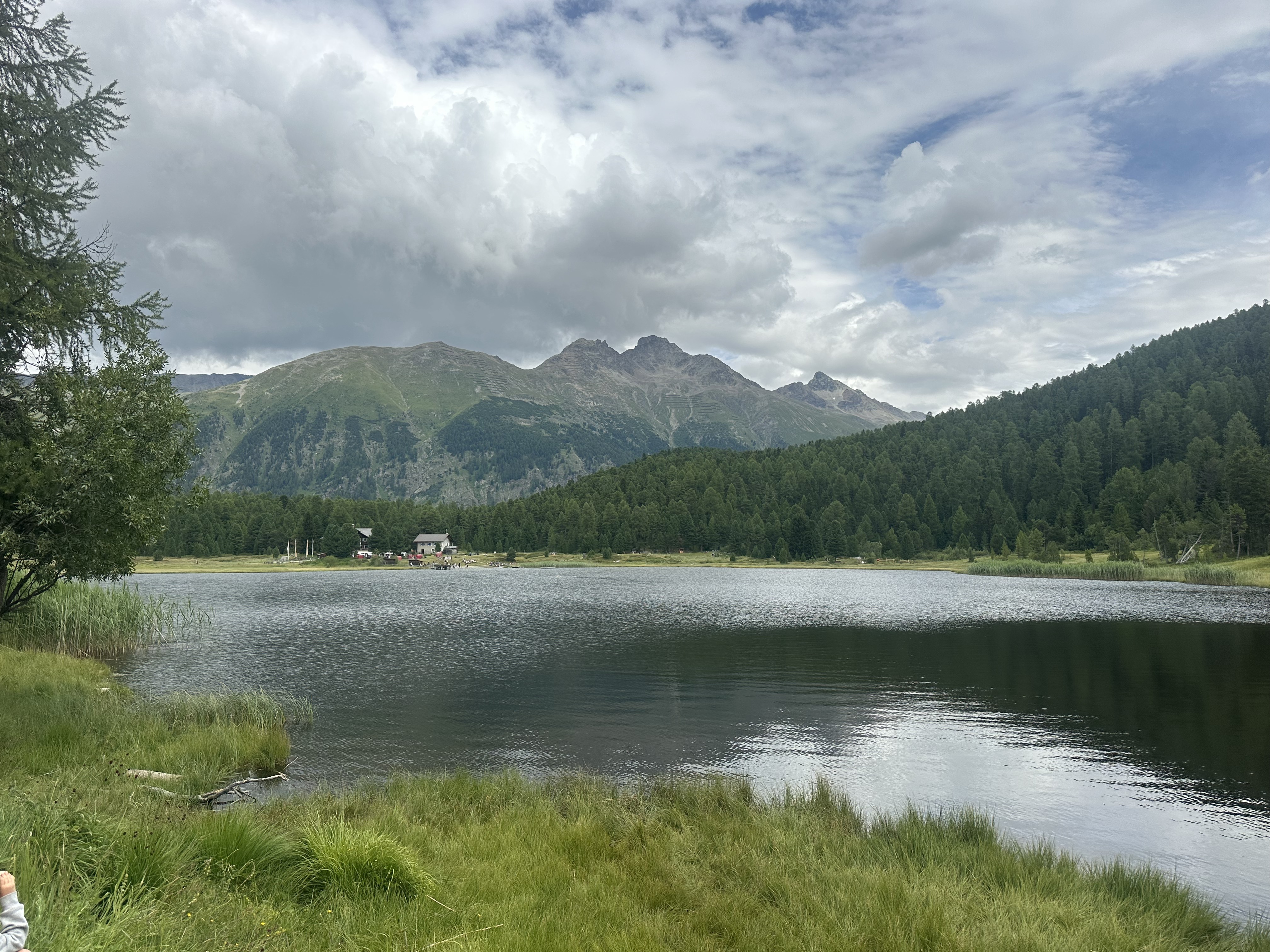
Suvretta-Pass
A cycling route starting in Celerina, Grisons, Switzerland.
Overview
About this route
Anspruchsvolle Mountain-Bike Route, die nur in eine Richtung fahrbar ist und auch Passagen aufweist, wo das Hochfahren aufgrund der Steilheit nicht mehr möglich ist. Dreiviertel der Strecke sind (teilweise ausgesetzt) anspruchsvolle, von Fussgängern selten begangene, Singletrails. Auf mindestens der Hälfte der Strecke ist kein Handy-Empfang, weshalb das alleinige Befahren aus Sicherheitsgründen nicht zu empfehlen ist. Ansonsten äusserst abwechslungsreiche Strecke im hochalpinen Gebiet. Tipp: Damit die Strecke etwas weniger anstrengend ist, kann auch die Corviglia-Gondelbahn für die ersten 500 Hm benutzt werden.
- -:--
- Duration
- 34.4 km
- Distance
- 1,118 m
- Ascent
- 1,115 m
- Descent
- ---
- Avg. speed
- ---
- Max. altitude
Continue with Bikemap
Use, edit, or download this cycling route
You would like to ride Suvretta-Pass or customize it for your own trip? Here is what you can do with this Bikemap route:
Free features
- Save this route as favorite or in collections
- Copy & plan your own version of this route
- Sync your route with Garmin or Wahoo
Premium features
Free trial for 3 days, or one-time payment. More about Bikemap Premium.
- Navigate this route on iOS & Android
- Export a GPX / KML file of this route
- Create your custom printout (try it for free)
- Download this route for offline navigation
Discover more Premium features.
Get Bikemap PremiumFrom our community
Other popular routes starting in Celerina
 Schweiz-Rundfahrt 2022
- Distance
- 141.2 km
- Ascent
- 2,483 m
- Descent
- 2,473 m
- Location
- Celerina, Grisons, Switzerland
 Hauptstrasse, Celerina/Schlarigna nach Via Surpunt, St. Moritz
- Distance
- 6.2 km
- Ascent
- 200 m
- Descent
- 152 m
- Location
- Celerina, Grisons, Switzerland
 Engadin-Celerina-Bike-Wochenende
- Distance
- 122.7 km
- Ascent
- 4,147 m
- Descent
- 4,147 m
- Location
- Celerina, Grisons, Switzerland
 Via Suot Crasta 21, Celerina/Schlarigna nach Via Laghetto, Colico
- Distance
- 93.9 km
- Ascent
- 1,866 m
- Descent
- 3,433 m
- Location
- Celerina, Grisons, Switzerland
 St Moritz Bormio
- Distance
- 75.8 km
- Ascent
- 1,689 m
- Descent
- 2,207 m
- Location
- Celerina, Grisons, Switzerland
 3. Etappe Cellerina -Bellagio-S
- Distance
- 108.9 km
- Ascent
- 247 m
- Descent
- 1,751 m
- Location
- Celerina, Grisons, Switzerland
 Val Roseg a Morteratsch
- Distance
- 35.9 km
- Ascent
- 466 m
- Descent
- 464 m
- Location
- Celerina, Grisons, Switzerland
 Celerina - Tirano
- Distance
- 51.8 km
- Ascent
- 616 m
- Descent
- 1,898 m
- Location
- Celerina, Grisons, Switzerland
Open it in the app