

Eichberg_Hochburg_Sexau
A cycling route starting in Teningen, Baden-Wurttemberg, Germany.
Overview
About this route
Very varied tour (asphalt and unpaved forest path). Partially very steep ascent.
Viewpoints: Eichberg Tower, Hochburg
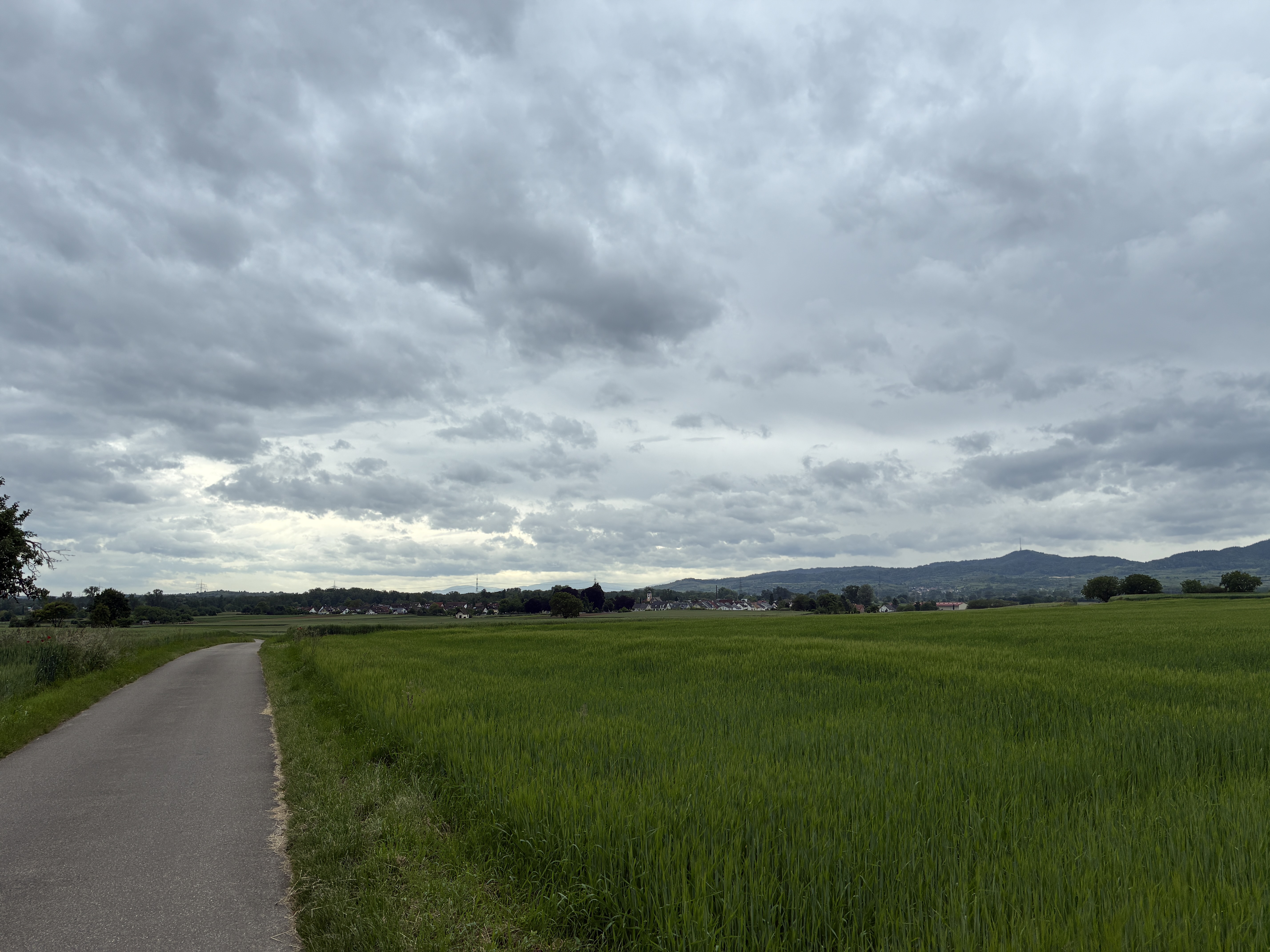
Flat return along the Elz for relaxing again.
Notes: From Hochburg, you have to carry the bike up some steps (descent to Sexau)!
- -:--
- Duration
- 34.6 km
- Distance
- 804 m
- Ascent
- 784 m
- Descent
- ---
- Avg. speed
- 399 m
- Max. altitude
Route quality
Waytypes & surfaces along the route
Waytypes
Track
16.6 km
(48 %)
Path
8 km
(23 %)
Surfaces
Paved
12.8 km
(37 %)
Unpaved
19.1 km
(55 %)
Gravel
14.6 km
(42 %)
Asphalt
10.7 km
(31 %)
Route highlights
Points of interest along the route
Point of interest after 7.7 km
Eichbergturm
Point of interest after 12.6 km
Schöne Aussicht am Wasserbehälter von Malek
Point of interest after 15.2 km
Hochburg
Continue with Bikemap
Use, edit, or download this cycling route
You would like to ride Eichberg_Hochburg_Sexau or customize it for your own trip? Here is what you can do with this Bikemap route:
Free features
- Save this route as favorite or in collections
- Copy & plan your own version of this route
- Sync your route with Garmin or Wahoo
Premium features
Free trial for 3 days, or one-time payment. More about Bikemap Premium.
- Navigate this route on iOS & Android
- Export a GPX / KML file of this route
- Create your custom printout (try it for free)
- Download this route for offline navigation
Discover more Premium features.
Get Bikemap PremiumFrom our community
Other popular routes starting in Teningen
 Heimbach Märchenwiese
- Distance
- 16 km
- Ascent
- 397 m
- Descent
- 397 m
- Location
- Teningen, Baden-Wurttemberg, Germany
 1Kaiserstuhlrunde
- Distance
- 61.6 km
- Ascent
- 55 m
- Descent
- 58 m
- Location
- Teningen, Baden-Wurttemberg, Germany
 Durchs Freiamt
- Distance
- 67.3 km
- Ascent
- 908 m
- Descent
- 907 m
- Location
- Teningen, Baden-Wurttemberg, Germany
 Teningen Breisach Artzheim Marckolsheim Teningen
- Distance
- 77.4 km
- Ascent
- 178 m
- Descent
- 170 m
- Location
- Teningen, Baden-Wurttemberg, Germany
 Hecklingen - Riegel
- Distance
- 19.1 km
- Ascent
- 108 m
- Descent
- 112 m
- Location
- Teningen, Baden-Wurttemberg, Germany
 Gottenheim
- Distance
- 35.6 km
- Ascent
- 156 m
- Descent
- 149 m
- Location
- Teningen, Baden-Wurttemberg, Germany
 Abendrunde
- Distance
- 16.1 km
- Ascent
- 309 m
- Descent
- 310 m
- Location
- Teningen, Baden-Wurttemberg, Germany
 Eichberg_Hochburg_Sexau
- Distance
- 34.6 km
- Ascent
- 804 m
- Descent
- 784 m
- Location
- Teningen, Baden-Wurttemberg, Germany
Open it in the app