

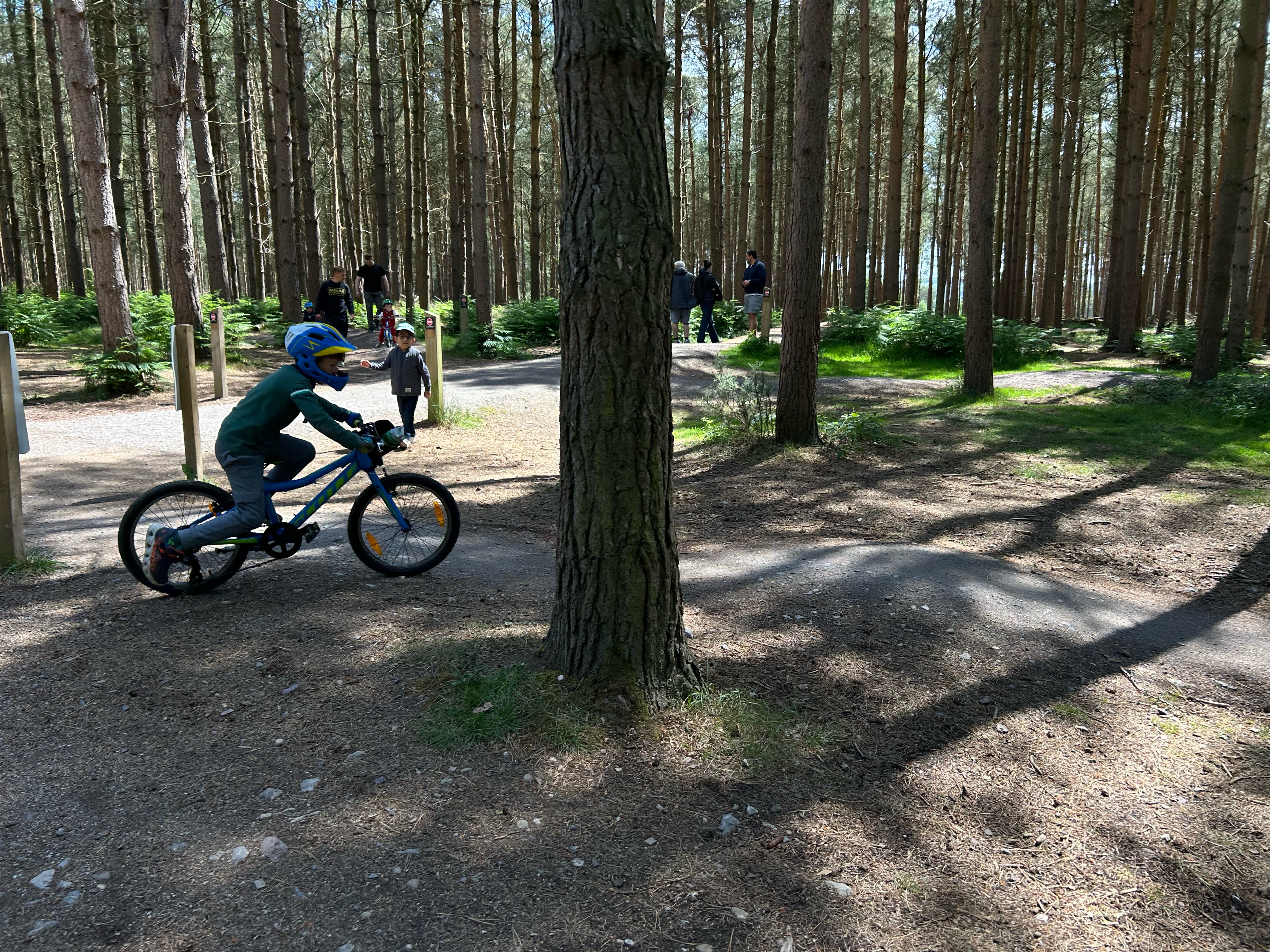
The Monkey Trail @ Cannock Chase
A cycling route starting in Rugeley, England, United Kingdom.
Overview
About this route
The Monkey Trail
- -:--
- Duration
- 18.5 km
- Distance
- 390 m
- Ascent
- 391 m
- Descent
- ---
- Avg. speed
- ---
- Max. altitude

Continue with Bikemap
Use, edit, or download this cycling route
You would like to ride The Monkey Trail @ Cannock Chase or customize it for your own trip? Here is what you can do with this Bikemap route:
Free features
- Save this route as favorite or in collections
- Copy & plan your own version of this route
- Sync your route with Garmin or Wahoo
Premium features
Free trial for 3 days, or one-time payment. More about Bikemap Premium.
- Navigate this route on iOS & Android
- Export a GPX / KML file of this route
- Create your custom printout (try it for free)
- Download this route for offline navigation
Discover more Premium features.
Get Bikemap PremiumFrom our community
Other popular routes starting in Rugeley
 The Monkey Trail @ Cannock Chase
- Distance
- 18.5 km
- Ascent
- 390 m
- Descent
- 391 m
- Location
- Rugeley, England, United Kingdom
 Long cannock chase
- Distance
- 19.1 km
- Ascent
- 259 m
- Descent
- 262 m
- Location
- Rugeley, England, United Kingdom
 Follow the Dog @ Cannock Chase
- Distance
- 10 km
- Ascent
- 185 m
- Descent
- 187 m
- Location
- Rugeley, England, United Kingdom
 Handsacre-Cannock Chase
- Distance
- 9.8 km
- Ascent
- 27 m
- Descent
- 91 m
- Location
- Rugeley, England, United Kingdom
 Sherbrook Trail - bikemap
- Distance
- 12.6 km
- Ascent
- 178 m
- Descent
- 178 m
- Location
- Rugeley, England, United Kingdom
 52.752, -1.966 to 52.752, -1.975
- Distance
- 5.4 km
- Ascent
- 29 m
- Descent
- 27 m
- Location
- Rugeley, England, United Kingdom
 Day 2 - Champions League Day
- Distance
- 76.3 km
- Ascent
- 192 m
- Descent
- 241 m
- Location
- Rugeley, England, United Kingdom
 Rugeley Cycling
- Distance
- 10.9 km
- Ascent
- 177 m
- Descent
- 169 m
- Location
- Rugeley, England, United Kingdom
Open it in the app