Edenfield Gardens, Worcester Park to Thames Street, Sunbury-On-Thames
- 24.2 km
- 62 m
- 78 m
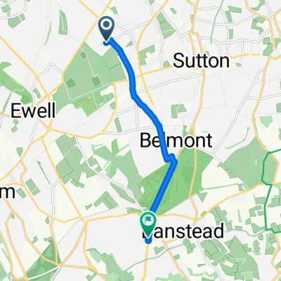
- Cheam, England, United Kingdom
A cycling route starting in Cheam, England, United Kingdom.
Overview
Are you ready for 100 miles in the Surrey Hills? This ride, starting in Ashtead on the edge of the North Downs, will test your resolve with some of the classic Surrey Hills – Leith Hill and Beacon Hill included. Through the Devil's Punch Bowl near Hindhead and the climbs get short and steeper, so you'll breath a sigh of relief as the route takes you north again. The famous Box Hill road is a sting in the tail!
created this 5 years ago
Route quality
Road
55.3 km
(31 %)
Quiet road
53.5 km
(30 %)
Paved
103.5 km
(58 %)
Asphalt
103.5 km
(58 %)
Undefined
74.9 km
(42 %)
Continue with Bikemap
You would like to ride Surrey 100 or customize it for your own trip? Here is what you can do with this Bikemap route:
Free trial for 3 days, or one-time payment. More about Bikemap Premium.
Discover more Premium features.
Get Bikemap PremiumFrom our community
Open it in the app