CIRCUITO RALLY MTB FEDE
- 41.4 km
- 651 m
- 651 m
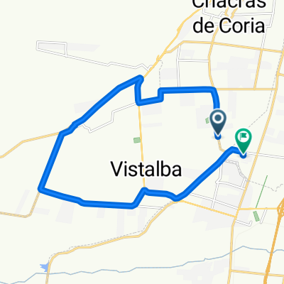
- Luján de Cuyo, Mendoza Province, Argentina
A cycling route starting in Luján de Cuyo, Mendoza Province, Argentina.
Overview
Trail up to the El Peral lookout.
created this 15 years ago
Route highlights
Acá dependiendo del cansancio vemos si volvemos por donde subimos o si seguimos para hacer la bajada del mickey! ;)
Rio seco donde una vez nos volvimos y unos flacos que encontramos subieron por donde esta marcado. Son 600mts de mierda y luego reaparece el sendero. :)
Vertiente con Agua
Estos ultimos metros hasta llegar al camino, no esta claro pero calculo que deben ser yuyos achaparrados como mas abajo.
Subida a un puesto, no se cual es! :D
Si pinta podemos seguir hasta el puesto para conocerlo.
Aca si queremos podemos elegir doblar al norte y volver por donde subimos.
Al que descubra este punto le damos premio!! :P :P
Continue with Bikemap
You would like to ride Subida a la Vertiente y un poco mas! or customize it for your own trip? Here is what you can do with this Bikemap route:
Free trial for 3 days, or one-time payment. More about Bikemap Premium.
Discover more Premium features.
Get Bikemap PremiumFrom our community
Open it in the app