

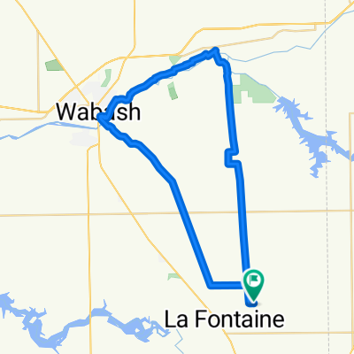
Day 21?
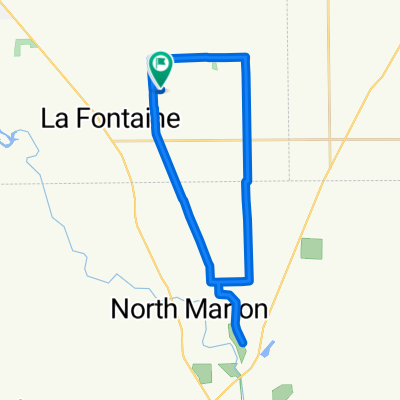
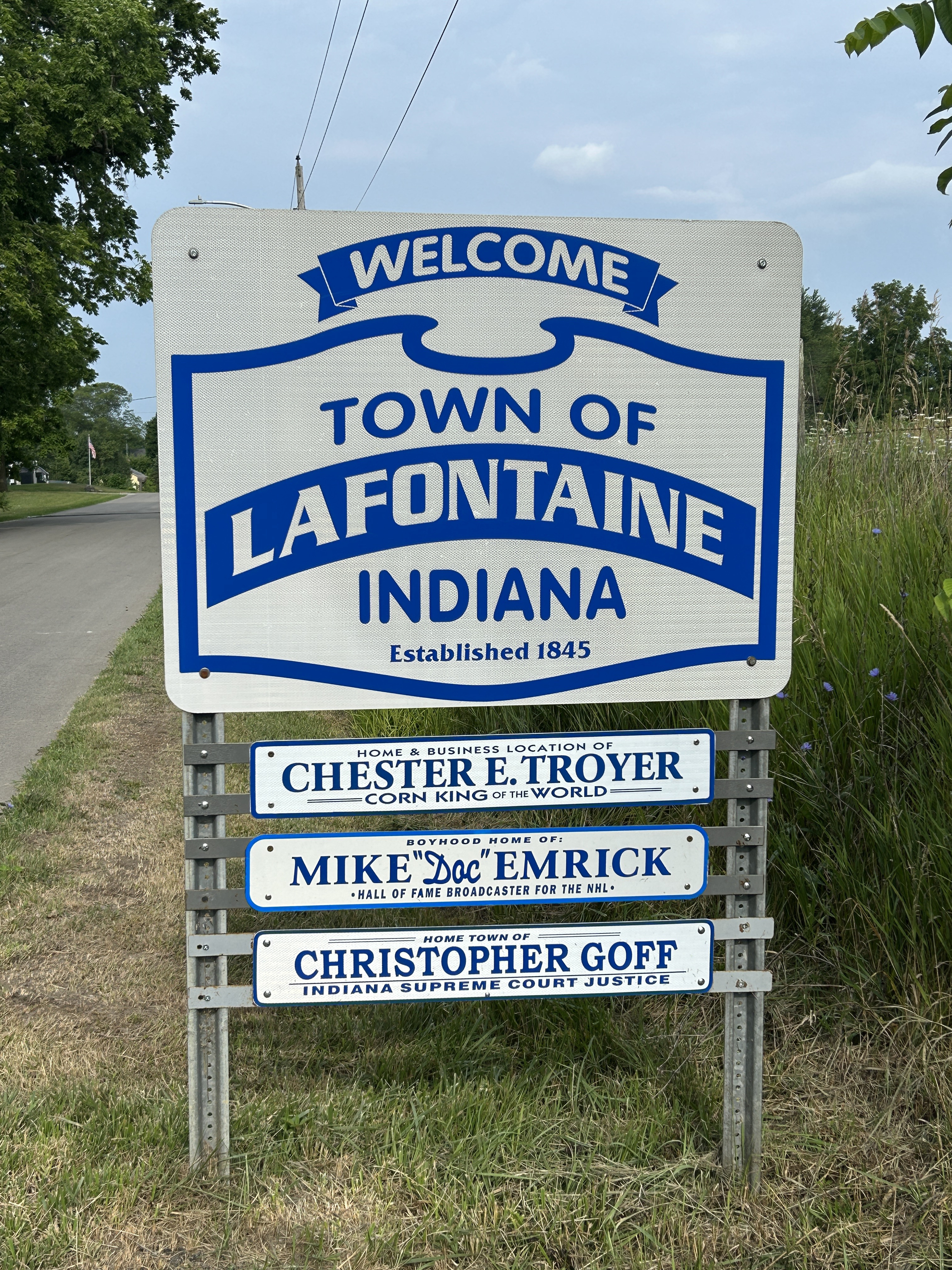
A cycling route starting in Mount Vernon, Indiana, United States.
Overview
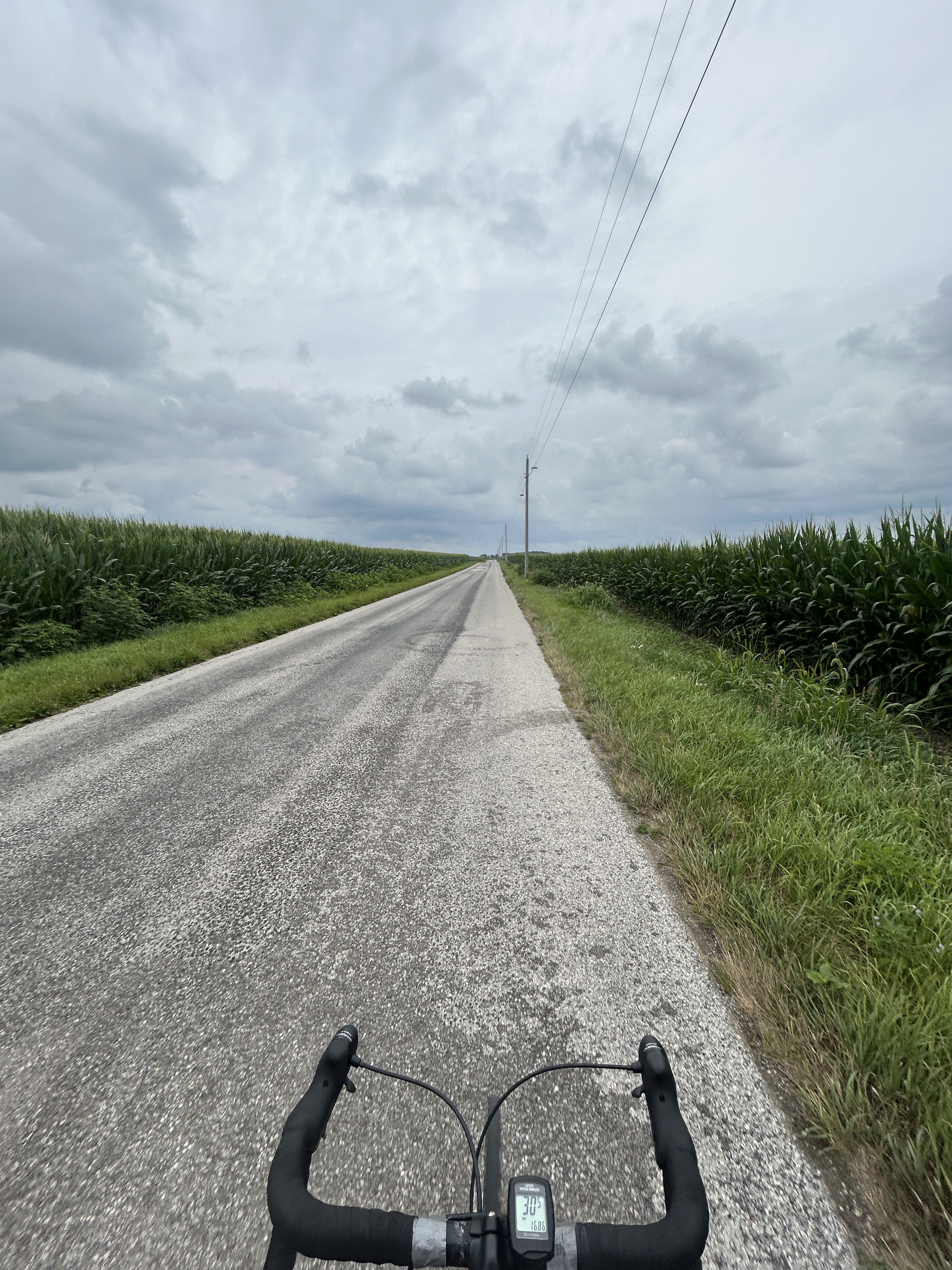
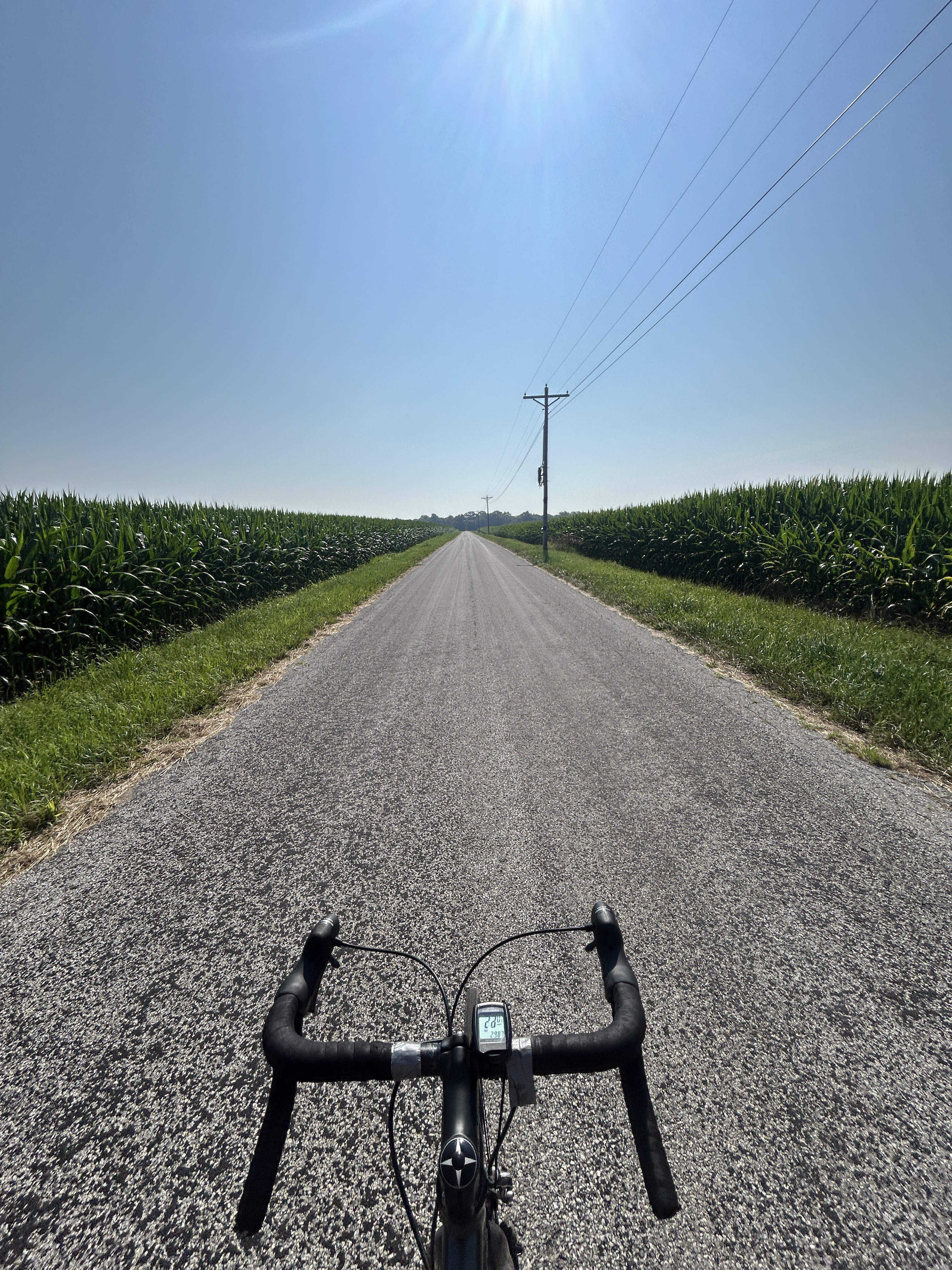
About this route
Donna Jo Camping
- -:--
- Duration
- 141.8 km
- Distance
- 158 m
- Ascent
- 188 m
- Descent
- ---
- Avg. speed
- ---
- Max. altitude

Route quality
Waytypes & surfaces along the route
Waytypes
Quiet road
81.2 km
(57 %)
Cycleway
41.3 km
(29 %)
Surfaces
Paved
55.8 km
(39 %)
Asphalt
47.1 km
(33 %)
Paved (undefined)
7.7 km
(5 %)
Continue with Bikemap
Use, edit, or download this cycling route
You would like to ride Day 21? or customize it for your own trip? Here is what you can do with this Bikemap route:
Free features
- Save this route as favorite or in collections
- Copy & plan your own version of this route
- Split it into stages to create a multi-day tour
- Sync your route with Garmin or Wahoo
Premium features
Free trial for 3 days, or one-time payment. More about Bikemap Premium.
- Navigate this route on iOS & Android
- Export a GPX / KML file of this route
- Create your custom printout (try it for free)
- Download this route for offline navigation
Discover more Premium features.
Get Bikemap PremiumFrom our community
Other popular routes starting in Mount Vernon
 40.685, -85.697 to 40.685, -85.697
- Distance
- 30.6 km
- Ascent
- 195 m
- Descent
- 196 m
- Location
- Mount Vernon, Indiana, United States
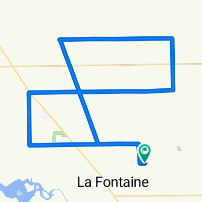
 E 975 S, La Fontaine to E 975 S, La Fontaine
- Distance
- 62.5 km
- Ascent
- 153 m
- Descent
- 154 m
- Location
- Mount Vernon, Indiana, United States
 40.685, -85.697 to 40.685, -85.697
- Distance
- 37 km
- Ascent
- 168 m
- Descent
- 165 m
- Location
- Mount Vernon, Indiana, United States
 40.685, -85.697 to 40.685, -85.697
- Distance
- 70.8 km
- Ascent
- 262 m
- Descent
- 263 m
- Location
- Mount Vernon, Indiana, United States
 E 975 S, La Fontaine to E 975 S, La Fontaine
- Distance
- 48.4 km
- Ascent
- 299 m
- Descent
- 304 m
- Location
- Mount Vernon, Indiana, United States
 40.685, -85.697 to 40.685, -85.697
- Distance
- 41.8 km
- Ascent
- 203 m
- Descent
- 205 m
- Location
- Mount Vernon, Indiana, United States
 Day 21?
- Distance
- 141.8 km
- Ascent
- 158 m
- Descent
- 188 m
- Location
- Mount Vernon, Indiana, United States
 Moderate route in Wabash
- Distance
- 1 km
- Ascent
- 0 m
- Descent
- 0 m
- Location
- Mount Vernon, Indiana, United States
Open it in the app