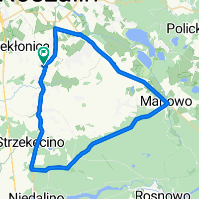
Kolejowa, Köslin nach Bolesława Chrobrego, Mielno
- 14.7 km
- 163 m
- 200 m
- Koszalin, West Pomeranian Voivodeship, Poland
A cycling route starting in Koszalin, West Pomeranian Voivodeship, Poland.
Overview
created this 5 years ago
Route quality
Track
78.2 km
(28 %)
Path
47.5 km
(17 %)
Paved
150.7 km
(54 %)
Unpaved
78.2 km
(28 %)
Asphalt
111.7 km
(40 %)
Gravel
39.1 km
(14 %)
Route highlights
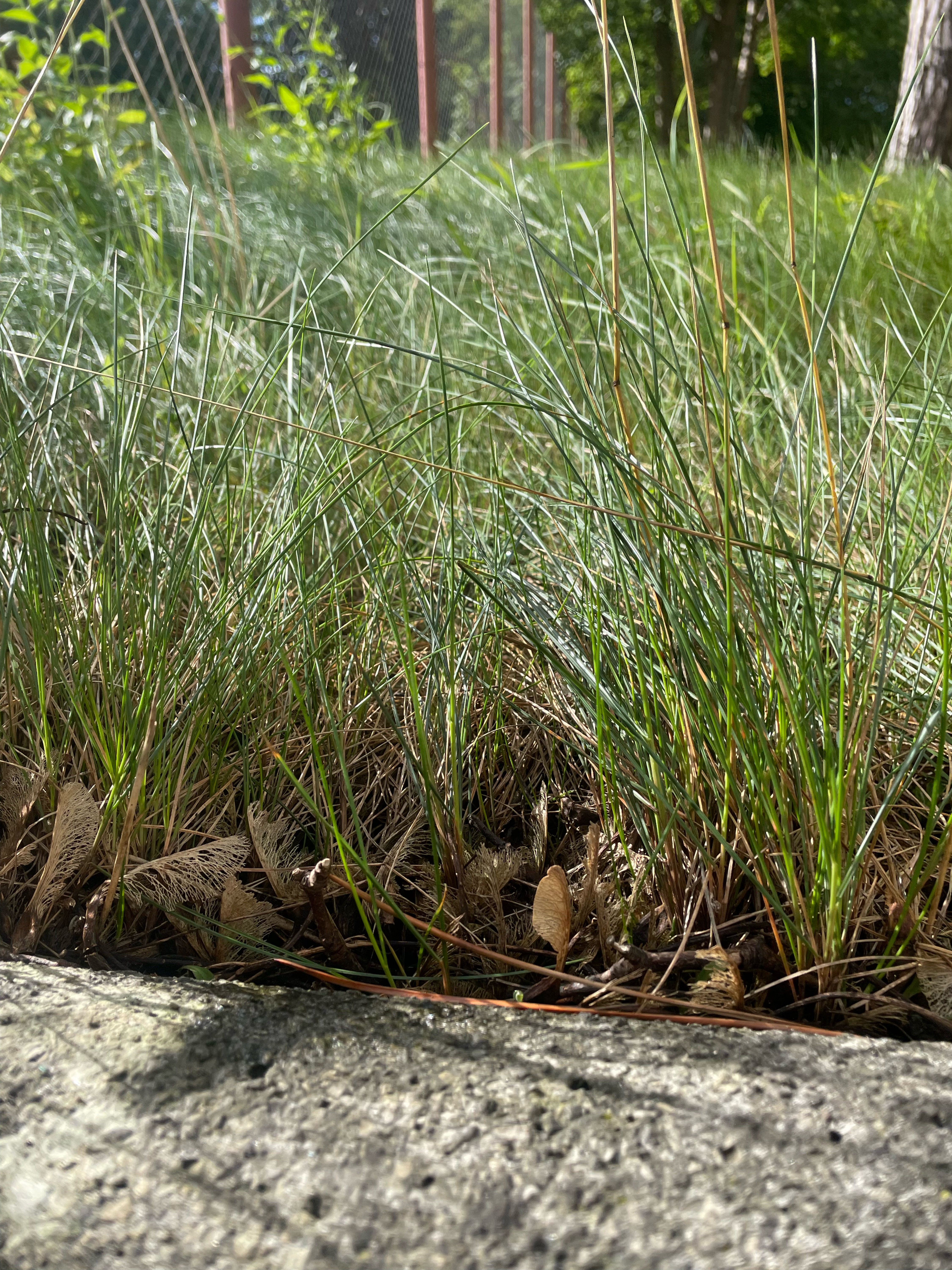
Agroturystyka u Rycha informacyjnie
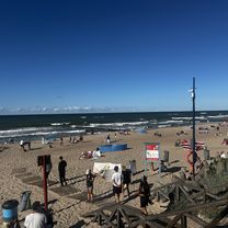
Rezerwat przyrody warto zajechać
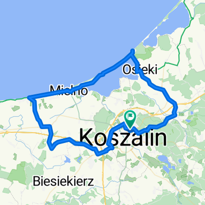
Nocleg nr 2 - sobota wieczor Przed Władysławowem w okolicach tego lasu lub w pobliżu
Continue with Bikemap
You would like to ride Koszalin-Hel or customize it for your own trip? Here is what you can do with this Bikemap route:
Free trial for 3 days, or one-time payment. More about Bikemap Premium.
Discover more Premium features.
Get Bikemap PremiumFrom our community
Open it in the app