

RBT Glauchau - Gera
A cycling route starting in Glauchau, Saxony, Germany.
Overview
About this route
through Meerane (lower town)
further north A4
- -:--
- Duration
- 46.6 km
- Distance
- 248 m
- Ascent
- 294 m
- Descent
- ---
- Avg. speed
- ---
- Max. altitude

Route quality
Waytypes & surfaces along the route
Waytypes
Road
21.9 km
(47 %)
Quiet road
12.1 km
(26 %)
Surfaces
Paved
25.6 km
(55 %)
Unpaved
0.5 km
(1 %)
Asphalt
25.2 km
(54 %)
Paved (undefined)
0.5 km
(1 %)
Route highlights
Points of interest along the route
Point of interest after 10.3 km
Steile Wand unten
Point of interest after 11.1 km
Mittagessen
Continue with Bikemap
Use, edit, or download this cycling route
You would like to ride RBT Glauchau - Gera or customize it for your own trip? Here is what you can do with this Bikemap route:
Free features
- Save this route as favorite or in collections
- Copy & plan your own version of this route
- Sync your route with Garmin or Wahoo
Premium features
Free trial for 3 days, or one-time payment. More about Bikemap Premium.
- Navigate this route on iOS & Android
- Export a GPX / KML file of this route
- Create your custom printout (try it for free)
- Download this route for offline navigation
Discover more Premium features.
Get Bikemap PremiumFrom our community
Other popular routes starting in Glauchau
 RBT Glauchau - Gera
- Distance
- 46.6 km
- Ascent
- 248 m
- Descent
- 294 m
- Location
- Glauchau, Saxony, Germany
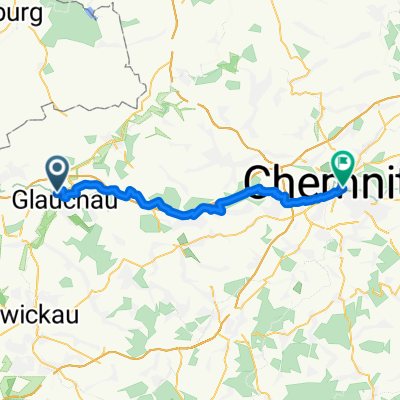 Glauchau - Chemnitz
- Distance
- 37.2 km
- Ascent
- 442 m
- Descent
- 375 m
- Location
- Glauchau, Saxony, Germany
 Radtour kindgerecht ab 4 Jahre
- Distance
- 17.8 km
- Ascent
- 67 m
- Descent
- 34 m
- Location
- Glauchau, Saxony, Germany
 Brücke-bis-Karlsweg
- Distance
- 3.4 km
- Ascent
- 6 m
- Descent
- 9 m
- Location
- Glauchau, Saxony, Germany
 Mit Netti zum Fahren
- Distance
- 48.8 km
- Ascent
- 416 m
- Descent
- 414 m
- Location
- Glauchau, Saxony, Germany
 Fichtelbergtour 2013
- Distance
- 185.4 km
- Ascent
- 1,731 m
- Descent
- 1,730 m
- Location
- Glauchau, Saxony, Germany
 Laubenweg nach Schwarzer Weg
- Distance
- 16.5 km
- Ascent
- 312 m
- Descent
- 309 m
- Location
- Glauchau, Saxony, Germany
 2308
2308- Distance
- 30.5 km
- Ascent
- 215 m
- Descent
- 214 m
- Location
- Glauchau, Saxony, Germany
Open it in the app