Ginsterweg, Döhlau nach Schulstraße, Hof
- 7.5 km
- 50 m
- 83 m
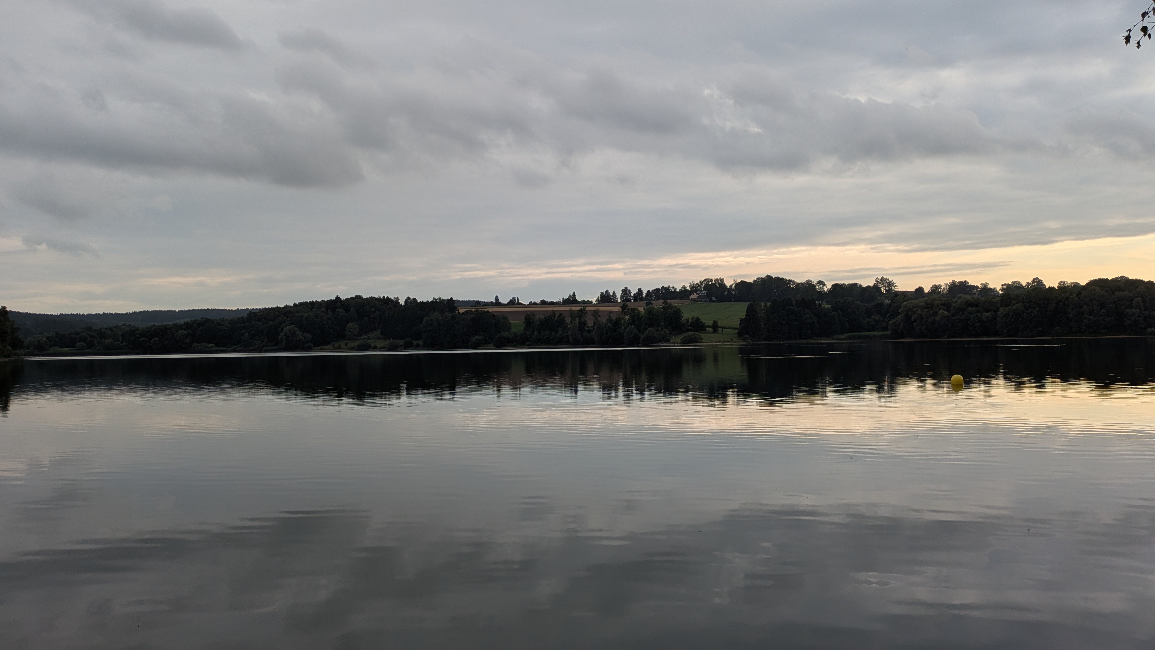
- Döhlau, Bavaria, Germany
A cycling route starting in Döhlau, Bavaria, Germany.
Overview
created this 18 years ago
Route quality
Road
33.7 km
(53 %)
Quiet road
14.6 km
(23 %)
Paved
26.7 km
(42 %)
Unpaved
1.9 km
(3 %)
Asphalt
25.5 km
(40 %)
Paved (undefined)
1.3 km
(2 %)
Continue with Bikemap
You would like to ride Hof - CZ-Grenze - Martinlamitz - Hof or customize it for your own trip? Here is what you can do with this Bikemap route:
Free trial for 3 days, or one-time payment. More about Bikemap Premium.
Discover more Premium features.
Get Bikemap PremiumFrom our community
Open it in the app