

Tour de châteaux et palais
A cycling route starting in Müllendorf, Burgenland, Austria.
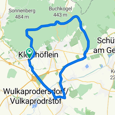
Overview
About this route
- -:--
- Duration
- 226.3 km
- Distance
- 1,894 m
- Ascent
- 1,894 m
- Descent
- ---
- Avg. speed
- ---
- Max. altitude
Route quality
Waytypes & surfaces along the route
Waytypes
Quiet road
52.1 km
(23 %)
Road
24.9 km
(11 %)
Surfaces
Paved
117.7 km
(52 %)
Unpaved
2.3 km
(1 %)
Asphalt
115.4 km
(51 %)
Paved (undefined)
2.3 km
(1 %)
Route highlights
Points of interest along the route
Point of interest after 33.5 km
Schloss Kobersdorf
Point of interest after 42.9 km
Burgruine Landsee Kaffee Pur
Point of interest after 72.5 km
Burg Lockenhaus
Point of interest after 107.2 km
Burg Schlaining
Point of interest after 135.4 km
Burgruine Kirchschlag
Point of interest after 144.9 km
Schloss Krumbach
Point of interest after 151.4 km
Point of interest after 166.2 km
Burg Grimmenstein
Point of interest after 170.5 km
Ruine Türkensturz
Point of interest after 177.3 km
Burg Seebenstein
Point of interest after 189.6 km
Schloss Frohsdorf
Point of interest after 193 km
Retemptoristenkloster
Point of interest after 194.5 km
Schloss Katzelsdorf
Continue with Bikemap
Use, edit, or download this cycling route
You would like to ride Tour de châteaux et palais or customize it for your own trip? Here is what you can do with this Bikemap route:
Free features
- Save this route as favorite or in collections
- Copy & plan your own version of this route
- Split it into stages to create a multi-day tour
- Sync your route with Garmin or Wahoo
Premium features
Free trial for 3 days, or one-time payment. More about Bikemap Premium.
- Navigate this route on iOS & Android
- Export a GPX / KML file of this route
- Create your custom printout (try it for free)
- Download this route for offline navigation
Discover more Premium features.
Get Bikemap PremiumFrom our community
Other popular routes starting in Müllendorf
 Eisenstradt - Klosteneuburg
- Distance
- 64.5 km
- Ascent
- 229 m
- Descent
- 254 m
- Location
- Müllendorf, Burgenland, Austria
 Hotterwanderung-Eisenstadt
- Distance
- 30.9 km
- Ascent
- 404 m
- Descent
- 405 m
- Location
- Müllendorf, Burgenland, Austria
 Großhöflein-->Mörbisch-->Großhöflein
- Distance
- 54.3 km
- Ascent
- 336 m
- Descent
- 337 m
- Location
- Müllendorf, Burgenland, Austria
 Großhöflein - - > Rosalia - - > Großhöflein
- Distance
- 89.6 km
- Ascent
- 621 m
- Descent
- 622 m
- Location
- Müllendorf, Burgenland, Austria
 Tour de châteaux et palais
- Distance
- 226.3 km
- Ascent
- 1,894 m
- Descent
- 1,894 m
- Location
- Müllendorf, Burgenland, Austria
 Nežidersko 1. dan
- Distance
- 46.6 km
- Ascent
- 281 m
- Descent
- 235 m
- Location
- Müllendorf, Burgenland, Austria
 Leithagebirge Kurz
- Distance
- 40.4 km
- Ascent
- 347 m
- Descent
- 347 m
- Location
- Müllendorf, Burgenland, Austria
 Müllendorf-Eisenstadt-Rust-Mörwitz am See-Illmitz- Neusiedl am See
- Distance
- 68 km
- Ascent
- 463 m
- Descent
- 549 m
- Location
- Müllendorf, Burgenland, Austria
Open it in the app