
kocierz w deszczu
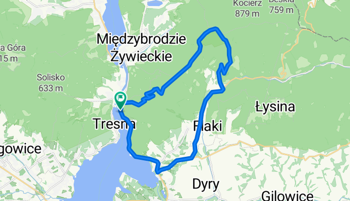
A cycling route starting in Czernichów, Silesian Voivodeship, Poland.
Overview
About this route
- 3 h 31 min
- Duration
- 22.5 km
- Distance
- 1,623 m
- Ascent
- 1,623 m
- Descent
- 6.4 km/h
- Avg. speed
- ---
- Max. altitude

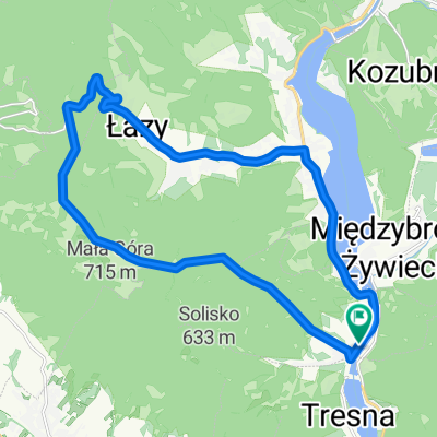
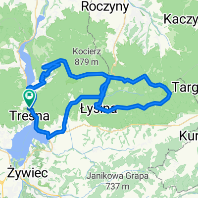
Route photos


Route quality
Waytypes & surfaces along the route
Waytypes
Track
12.1 km
(54 %)
Quiet road
2 km
(9 %)
Surfaces
Paved
9.4 km
(42 %)
Unpaved
12.8 km
(57 %)
Asphalt
9.4 km
(42 %)
Unpaved (undefined)
6.5 km
(29 %)
Continue with Bikemap
Use, edit, or download this cycling route
You would like to ride kocierz w deszczu or customize it for your own trip? Here is what you can do with this Bikemap route:
Free features
- Save this route as favorite or in collections
- Copy & plan your own version of this route
- Sync your route with Garmin or Wahoo
Premium features
Free trial for 3 days, or one-time payment. More about Bikemap Premium.
- Navigate this route on iOS & Android
- Export a GPX / KML file of this route
- Create your custom printout (try it for free)
- Download this route for offline navigation
Discover more Premium features.
Get Bikemap PremiumFrom our community
Other popular routes starting in Czernichów
 kocierz w deszczu
- Distance
- 22.5 km
- Ascent
- 1,623 m
- Descent
- 1,623 m
- Location
- Czernichów, Silesian Voivodeship, Poland
 Międz.Żyw.- Szczyrk-Brenna-BB -Międz.Żywieckie
- Distance
- 75.6 km
- Ascent
- 890 m
- Descent
- 905 m
- Location
- Czernichów, Silesian Voivodeship, Poland
 *AMTB Czupel-Magurka Wil. 09.04.2011
- Distance
- 20 km
- Ascent
- 689 m
- Descent
- 690 m
- Location
- Czernichów, Silesian Voivodeship, Poland
 *AMTB Wokoło Międzybrodzia 04.06.2011
- Distance
- 38.8 km
- Ascent
- 1,499 m
- Descent
- 1,499 m
- Location
- Czernichów, Silesian Voivodeship, Poland
 Międzybrodzie Żywieckie - Żar - Kocierz - Madahora - Gibasówka - Łysina (Jaskinia Lodowa) - Oczków - Międzybrodzie Żywieckie
- Distance
- 45.1 km
- Ascent
- 1,079 m
- Descent
- 1,081 m
- Location
- Czernichów, Silesian Voivodeship, Poland
 *AMTB 2011-03-27 Łamana Skała
- Distance
- 52.8 km
- Ascent
- 1,221 m
- Descent
- 1,221 m
- Location
- Czernichów, Silesian Voivodeship, Poland
 MTB BESKID MAŁY
- Distance
- 38.8 km
- Ascent
- 1,452 m
- Descent
- 1,452 m
- Location
- Czernichów, Silesian Voivodeship, Poland
 Góra Żar
- Distance
- 12.3 km
- Ascent
- 494 m
- Descent
- 496 m
- Location
- Czernichów, Silesian Voivodeship, Poland
Open it in the app