Tour de France 2016 - Stage 14
- 216 km
- 1,240 m
- 1,048 m
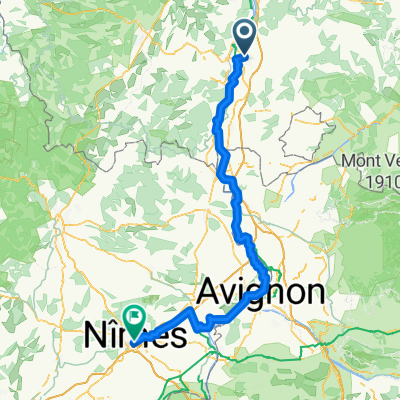
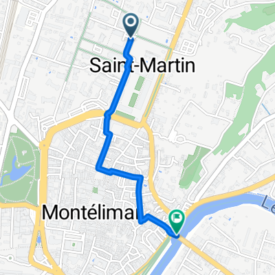
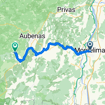
- Montélimar, Auvergne-Rhône-Alpes, France
Velo Trip 2020
A cycling route starting in Montélimar, Auvergne-Rhône-Alpes, France.
Overview
created this 5 years ago
Part of
10 stages
Route quality
Cycleway
18.7 km
(39 %)
Quiet road
17.3 km
(36 %)
Paved
43.6 km
(91 %)
Unpaved
0.5 km
(1 %)
Asphalt
40.3 km
(84 %)
Paved (undefined)
2.4 km
(5 %)
Continue with Bikemap
You would like to ride Etape 4 : Montelimar ==> Pont ST Esprit or customize it for your own trip? Here is what you can do with this Bikemap route:
Free trial for 3 days, or one-time payment. More about Bikemap Premium.
Discover more Premium features.
Get Bikemap PremiumFrom our community
Open it in the app