Innterrassenweg 2, Gars am Inn nach Innterrassenweg 5, Gars am Inn
- 4.7 km
- 111 m
- 122 m
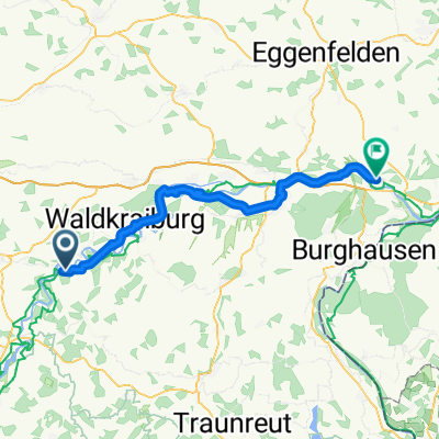
- Gars, Bavaria, Germany
A cycling route starting in Gars, Bavaria, Germany.
Overview
created this 5 years ago
Route quality
Track
23.4 km
(35 %)
Quiet road
21.4 km
(32 %)
Paved
37.5 km
(56 %)
Unpaved
24.7 km
(37 %)
Asphalt
37.5 km
(56 %)
Gravel
18.1 km
(27 %)
Continue with Bikemap
You would like to ride Quer durch's Land 2. Etappe Gars - Marktl or customize it for your own trip? Here is what you can do with this Bikemap route:
Free trial for 3 days, or one-time payment. More about Bikemap Premium.
Discover more Premium features.
Get Bikemap PremiumFrom our community
Open it in the app