

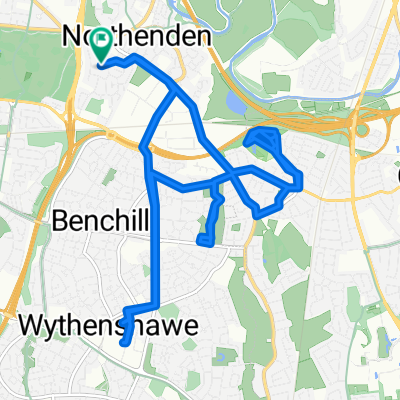
Pootling round Cheshire
A cycling route starting in Didsbury, England, United Kingdom.
Overview
About this route
Just a ride out to Cheshire - round Wilmslow and Mobberly then back past the Airport to Styal (and a pub stop) then home
- -:--
- Duration
- 52.9 km
- Distance
- 147 m
- Ascent
- 145 m
- Descent
- ---
- Avg. speed
- ---
- Max. altitude
Route quality
Waytypes & surfaces along the route
Waytypes
Busy road
17.8 km
(34 %)
Quiet road
10.3 km
(20 %)
Surfaces
Paved
12.6 km
(24 %)
Unpaved
1.1 km
(2 %)
Asphalt
12.1 km
(23 %)
Gravel
0.9 km
(2 %)
Continue with Bikemap
Use, edit, or download this cycling route
You would like to ride Pootling round Cheshire or customize it for your own trip? Here is what you can do with this Bikemap route:
Free features
- Save this route as favorite or in collections
- Copy & plan your own version of this route
- Sync your route with Garmin or Wahoo
Premium features
Free trial for 3 days, or one-time payment. More about Bikemap Premium.
- Navigate this route on iOS & Android
- Export a GPX / KML file of this route
- Create your custom printout (try it for free)
- Download this route for offline navigation
Discover more Premium features.
Get Bikemap PremiumFrom our community
Other popular routes starting in Didsbury
 Didsbury to Mac to Lyme Park to Didsbury
- Distance
- 66.7 km
- Ascent
- 526 m
- Descent
- 526 m
- Location
- Didsbury, England, United Kingdom
 Monday
- Distance
- 14.9 km
- Ascent
- 70 m
- Descent
- 70 m
- Location
- Didsbury, England, United Kingdom
 Styal, Cheadle, Bramhall
- Distance
- 33.6 km
- Ascent
- 97 m
- Descent
- 96 m
- Location
- Didsbury, England, United Kingdom
 Myp Challange
- Distance
- 42.9 km
- Ascent
- 90 m
- Descent
- 91 m
- Location
- Didsbury, England, United Kingdom
 out to chatsworth and down monsall head
- Distance
- 151 km
- Ascent
- 1,445 m
- Descent
- 1,442 m
- Location
- Didsbury, England, United Kingdom
 Manchester 100
- Distance
- 161.6 km
- Ascent
- 295 m
- Descent
- 294 m
- Location
- Didsbury, England, United Kingdom
 100k Peak District Circular from Didsbury
- Distance
- 100.7 km
- Ascent
- 1,000 m
- Descent
- 1,000 m
- Location
- Didsbury, England, United Kingdom
 Easy ride in Manchester
- Distance
- 5.2 km
- Ascent
- 4 m
- Descent
- 4 m
- Location
- Didsbury, England, United Kingdom
Open it in the app