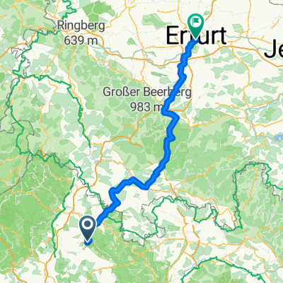
Stadtlauringen - Erfurt
- 140.5 km
- 1,652 m
- 1,785 m
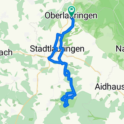
- Stadtlauringen, Bavaria, Germany
A cycling route starting in Stadtlauringen, Bavaria, Germany.
Overview
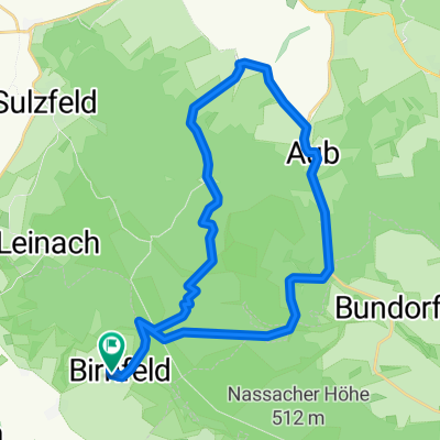
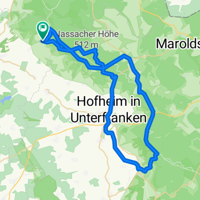
from OL to Altenmünster, Marktsteinach, Schonungen, Schweinfurt, Poppenhausen, Wernquelle, Rannungen, Maßbach, Stadtlauringen and back to Oberlauringen
created this 15 years ago
Route quality
Track
25.8 km
(32 %)
Quiet road
18.6 km
(23 %)
Paved
55.7 km
(69 %)
Unpaved
14.5 km
(18 %)
Asphalt
50.8 km
(63 %)
Gravel
9.7 km
(12 %)
Continue with Bikemap
You would like to ride Oberlauringen zum Main und Wern or customize it for your own trip? Here is what you can do with this Bikemap route:
Free trial for 3 days, or one-time payment. More about Bikemap Premium.
Discover more Premium features.
Get Bikemap PremiumFrom our community
Open it in the app