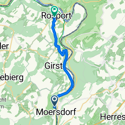
Mesenich Echternach Deutsche Seite
- 23.1 km
- 137 m
- 114 m
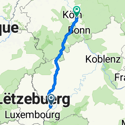
- Langsur, Rhineland-Palatinate, Germany
A cycling route starting in Langsur, Rhineland-Palatinate, Germany.
Overview
created this 5 years ago
Route quality
Path
11.4 km
(15 %)
Quiet road
9.1 km
(12 %)
Paved
75.5 km
(99 %)
Asphalt
74.7 km
(98 %)
Paved (undefined)
0.8 km
(1 %)
Undefined
0.8 km
(1 %)
Continue with Bikemap
You would like to ride wasserbillig-Senningerberg-wasserbillig or customize it for your own trip? Here is what you can do with this Bikemap route:
Free trial for 3 days, or one-time payment. More about Bikemap Premium.
Discover more Premium features.
Get Bikemap PremiumFrom our community
Open it in the app