Lindenhof
- 23.1 km
- 324 m
- 324 m
- Ostfildern, Baden-Wurttemberg, Germany
A cycling route starting in Ostfildern, Baden-Wurttemberg, Germany.
Overview
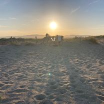
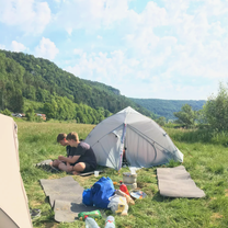
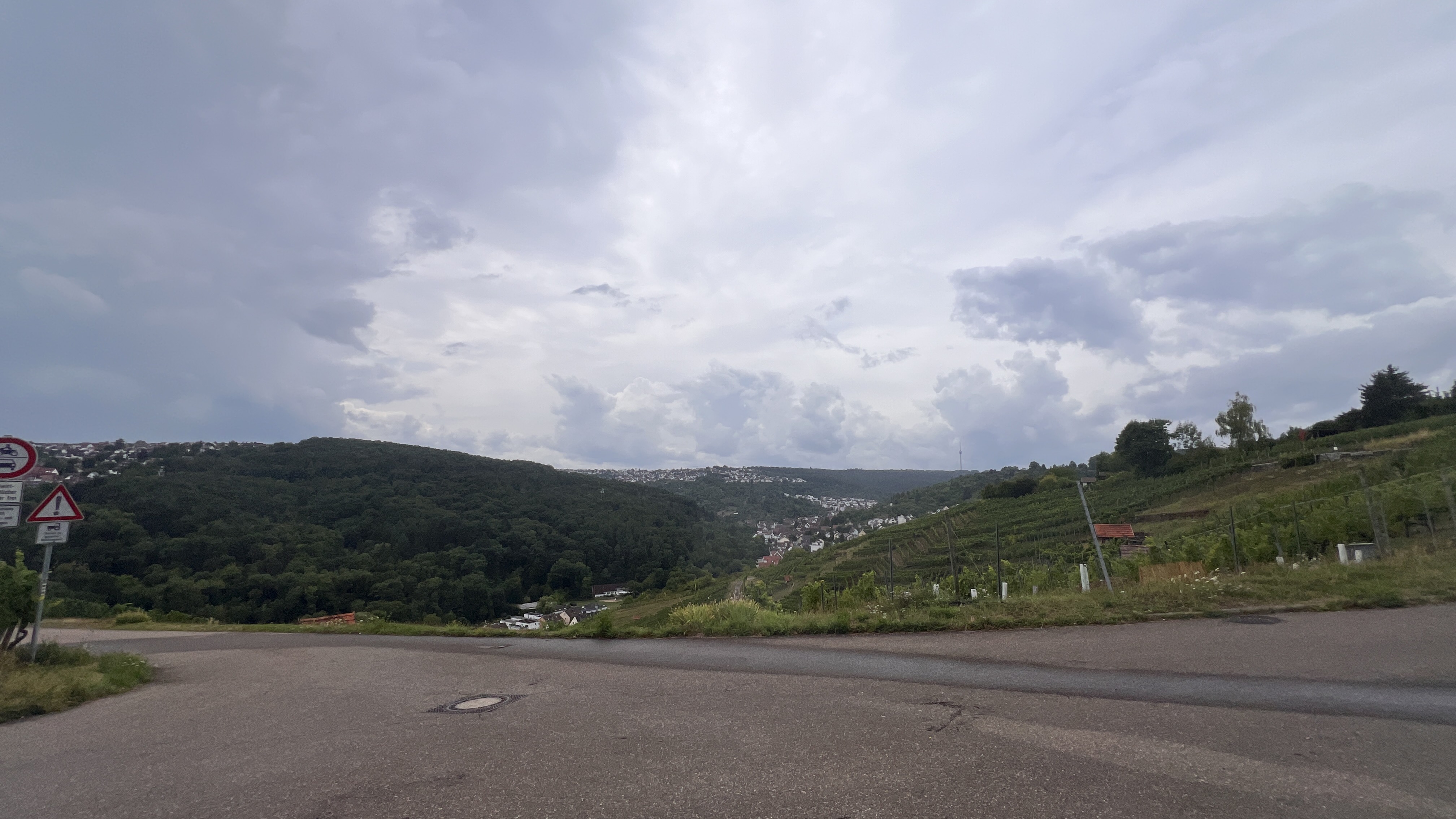
From the feeling, longer than just under 60 km. The route is sometimes boring, as it runs a lot on cycling paths. But the best, as always, at the end... Ascent to Burg Teck :-).
created this 17 years ago
Route quality
Quiet road
18.9 km
(33 %)
Track
8 km
(14 %)
Paved
44.6 km
(78 %)
Unpaved
4 km
(7 %)
Asphalt
44 km
(77 %)
Gravel
1.7 km
(3 %)
Continue with Bikemap
You would like to ride Scharnhauser Park-Burg Teck und zurück or customize it for your own trip? Here is what you can do with this Bikemap route:
Free trial for 3 days, or one-time payment. More about Bikemap Premium.
Discover more Premium features.
Get Bikemap PremiumFrom our community
Open it in the app