
Großes Lautertal
A cycling route starting in Bad Urach, Baden-Württemberg, Germany.
Overview
About this route
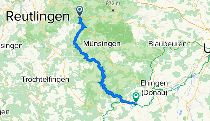
Diese mittelschwere Radtour führt entlang des Lautertal Radwegs, vorbei am Haupt- und Landgestüt Marbach, an Bichishausen und Lauterach. Die Tour endet in Munderkingen. (Tourbeschreibung unter: thod_er@gmx.de)
- -:--
- Duration
- 54.4 km
- Distance
- 5,795 m
- Ascent
- 6,262 m
- Descent
- ---
- Avg. speed
- 728 m
- Avg. speed
Route quality
Waytypes & surfaces along the route
Waytypes
Track
34.9 km
(64 %)
Quiet road
7.3 km
(13 %)
Surfaces
Paved
32.6 km
(60 %)
Unpaved
18.3 km
(34 %)
Asphalt
31.7 km
(58 %)
Gravel
10.4 km
(19 %)
Continue with Bikemap
Use, edit, or download this cycling route
You would like to ride Großes Lautertal or customize it for your own trip? Here is what you can do with this Bikemap route:
Free features
- Save this route as favorite or in collections
- Copy & plan your own version of this route
- Sync your route with Garmin or Wahoo
Premium features
Free trial for 3 days, or one-time payment. More about Bikemap Premium.
- Navigate this route on iOS & Android
- Export a GPX / KML file of this route
- Create your custom printout (try it for free)
- Download this route for offline navigation
Discover more Premium features.
Get Bikemap PremiumFrom our community
Other popular routes starting in Bad Urach
 Seeburg Tailfinger Schlucht-Münsingen
- Distance
- 20.6 km
- Ascent
- 363 m
- Descent
- 261 m
- Location
- Bad Urach, Baden-Württemberg, Germany
 Trailfingen - Lenniger Tal
- Distance
- 69.2 km
- Ascent
- 678 m
- Descent
- 679 m
- Location
- Bad Urach, Baden-Württemberg, Germany
 Bad Urach_Nürtingen_Moe 45km 420hm
- Distance
- 44.5 km
- Ascent
- 354 m
- Descent
- 401 m
- Location
- Bad Urach, Baden-Württemberg, Germany
 Schwäbische Alp-Tour2
- Distance
- 67.4 km
- Ascent
- 1,271 m
- Descent
- 1,172 m
- Location
- Bad Urach, Baden-Württemberg, Germany
 Schwäbische Alp-Tour1
- Distance
- 96 km
- Ascent
- 1,446 m
- Descent
- 1,280 m
- Location
- Bad Urach, Baden-Württemberg, Germany
 Genusstourüber die Schwäbische Alb
- Distance
- 31.2 km
- Ascent
- 290 m
- Descent
- 303 m
- Location
- Bad Urach, Baden-Württemberg, Germany
 20220914 Esslingen a
- Distance
- 61.6 km
- Ascent
- 635 m
- Descent
- 828 m
- Location
- Bad Urach, Baden-Württemberg, Germany
 Auf der Alb
- Distance
- 31.3 km
- Ascent
- 500 m
- Descent
- 487 m
- Location
- Bad Urach, Baden-Württemberg, Germany
Open it in the app