Staatsforst Lindach
- 120.1 km
- 862 m
- 860 m
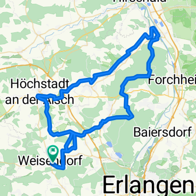
- Weisendorf, Bavaria, Germany
A cycling route starting in Weisendorf, Bavaria, Germany.
Overview
created this 5 years ago
Route quality
Road
144.3 km
(24 %)
Quiet road
120.2 km
(20 %)
Paved
487 km
(81 %)
Unpaved
54.1 km
(9 %)
Asphalt
475 km
(79 %)
Gravel
48.1 km
(8 %)
Route highlights
Continue with Bikemap
You would like to ride Weisendorf-Grosglockner-Kranjska Gora or customize it for your own trip? Here is what you can do with this Bikemap route:
Free trial for 3 days, or one-time payment. More about Bikemap Premium.
Discover more Premium features.
Get Bikemap PremiumFrom our community
Open it in the app