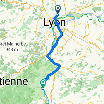
Lyon-Mornant
- 57 km
- 502 m
- 502 m
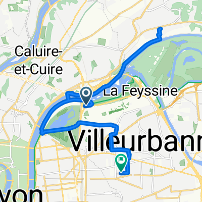
- Caluire-et-Cuire, Auvergne-Rhône-Alpes, France
A cycling route starting in Caluire-et-Cuire, Auvergne-Rhône-Alpes, France.
Overview
Camping des Barolles 88 Avenue Maréchal Foch, 69230 Saint-Genis-Laval
created this 5 years ago
Route quality
Cycleway
5.2 km
(39 %)
Road
2.4 km
(18 %)
Paved
11.7 km
(88 %)
Asphalt
10.1 km
(76 %)
Concrete
1.5 km
(11 %)
Continue with Bikemap
You would like to ride Lyon - Saint-Genis-Laval or customize it for your own trip? Here is what you can do with this Bikemap route:
Free trial for 3 days, or one-time payment. More about Bikemap Premium.
Discover more Premium features.
Get Bikemap PremiumFrom our community
Open it in the app