Tonyworlds - France
- 492 km
- 2,241 m
- 2,162 m
- Seyssinet-Pariset, Auvergne-Rhône-Alpes, France
Overview
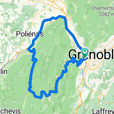
Grenoble - Catania -> Grenoble - Centre
Grenoble - Centre -> Campus (via the Isère)
Campus -> Domène (via the Isère)
Domène -> Meylan (via the Isère)
Meylan -> Grenoble - Presqu'île (via the Isère)
Grenoble - Presqu'île -> Grenoble - Catania
created this 5 years ago
Part of
8 stages
Route quality
Path
20 km
(57 %)
Quiet road
4.9 km
(14 %)
Paved
32.6 km
(93 %)
Unpaved
2.1 km
(6 %)
Asphalt
30.9 km
(88 %)
Loose gravel
2.1 km
(6 %)
Continue with Bikemap
You would like to ride Route Acht or customize it for your own trip? Here is what you can do with this Bikemap route:
Free trial for 3 days, or one-time payment. More about Bikemap Premium.
Discover more Premium features.
Get Bikemap PremiumFrom our community
Open it in the app