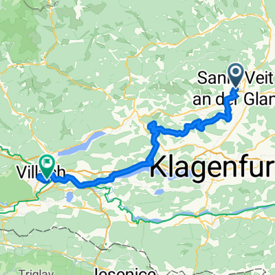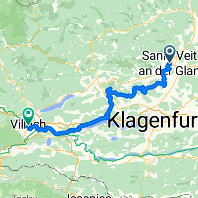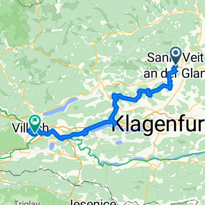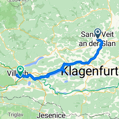
D6_c_S. Vait a G _ Villach
- 68.3 km
- 512 m
- 505 m
- Sankt Veit an der Glan, Carinthia, Austria
A cycling route starting in Sankt Veit an der Glan, Carinthia, Austria.
Overview
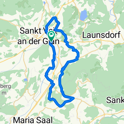
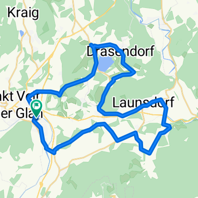
RR-Flach: St.Veit-Brückl-Haimburg-Völkermarkt-Tainach-Hörtendorf-St.GeorgenSandhof-St.MichaelZollfeld-St.Veit
created this 5 years ago
Route quality
Quiet road
12 km
(13 %)
Cycleway
7.4 km
(8 %)
Paved
34.2 km
(37 %)
Unpaved
1.9 km
(2 %)
Asphalt
33.3 km
(36 %)
Paved (undefined)
0.9 km
(1 %)
Continue with Bikemap
You would like to ride RR-Flach: St.Veit-Brückl-Haimburg-Völkermarkt-Tainach-Hörtendorf-St.GeorgenSandhof-St.MichaelZollfeld-St.Veit or customize it for your own trip? Here is what you can do with this Bikemap route:
Free trial for 3 days, or one-time payment. More about Bikemap Premium.
Discover more Premium features.
Get Bikemap PremiumFrom our community
Open it in the app