

Torrey C Brown Rail Trail, Parkton to Walker Rd, Parkton
A cycling route starting in New Freedom, Pennsylvania, United States.
Overview
About this route
- 2 h 48 min
- Duration
- 41.7 km
- Distance
- 463 m
- Ascent
- 469 m
- Descent
- 14.8 km/h
- Avg. speed
- ---
- Max. altitude
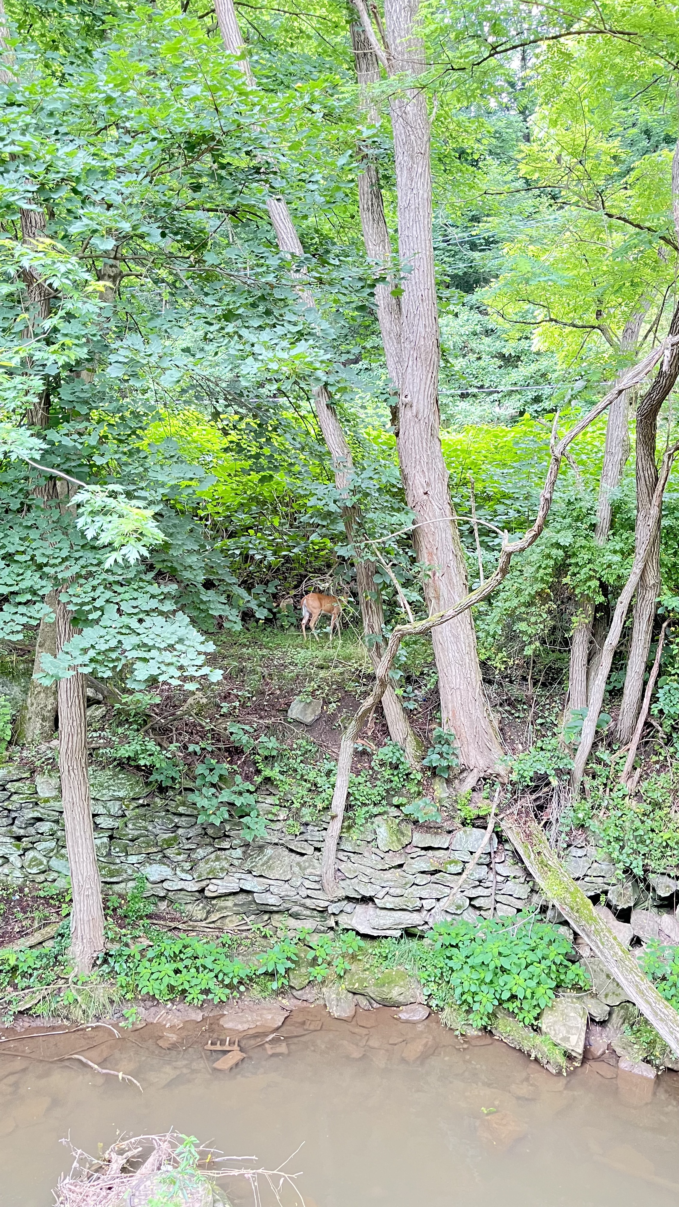
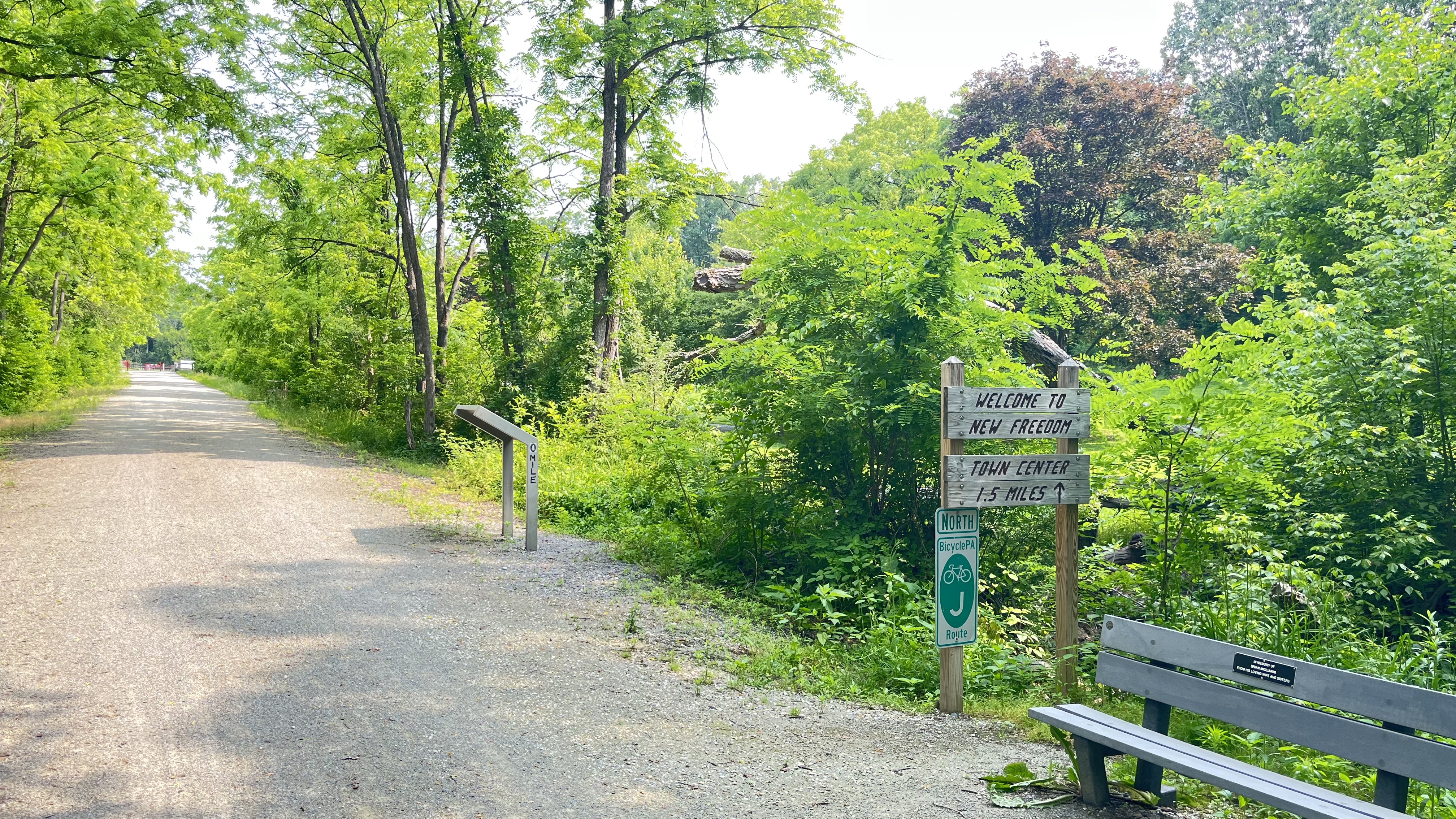
Route photos


Route quality
Waytypes & surfaces along the route
Waytypes
Path
20 km
(48 %)
Cycleway
18.3 km
(44 %)
Surfaces
Paved
3.3 km
(8 %)
Unpaved
36.2 km
(87 %)
Gravel
20 km
(48 %)
Loose gravel
16.2 km
(39 %)
Continue with Bikemap
Use, edit, or download this cycling route
You would like to ride Torrey C Brown Rail Trail, Parkton to Walker Rd, Parkton or customize it for your own trip? Here is what you can do with this Bikemap route:
Free features
- Save this route as favorite or in collections
- Copy & plan your own version of this route
- Sync your route with Garmin or Wahoo
Premium features
Free trial for 3 days, or one-time payment. More about Bikemap Premium.
- Navigate this route on iOS & Android
- Export a GPX / KML file of this route
- Create your custom printout (try it for free)
- Download this route for offline navigation
Discover more Premium features.
Get Bikemap PremiumFrom our community
Other popular routes starting in New Freedom
 Hodle to BeeTree
- Distance
- 8 km
- Ascent
- 68 m
- Descent
- 140 m
- Location
- New Freedom, Pennsylvania, United States
 Heritage Rail Trail County Park, Railroad to Heritage Rail Trail County Park, Railroad
- Distance
- 12.8 km
- Ascent
- 89 m
- Descent
- 86 m
- Location
- New Freedom, Pennsylvania, United States
 Route from 96 Windy Hill Rd, New Freedom
- Distance
- 11.1 km
- Ascent
- 152 m
- Descent
- 162 m
- Location
- New Freedom, Pennsylvania, United States
 BBC PA Flatlands 40m
- Distance
- 65.4 km
- Ascent
- 687 m
- Descent
- 688 m
- Location
- New Freedom, Pennsylvania, United States
 39.706, -76.683 to 39.706, -76.683
- Distance
- 13.1 km
- Ascent
- 105 m
- Descent
- 106 m
- Location
- New Freedom, Pennsylvania, United States
 New Freedom Low Elevation Loop
- Distance
- 45.2 km
- Ascent
- 283 m
- Descent
- 283 m
- Location
- New Freedom, Pennsylvania, United States
 Hodle to Kyles
- Distance
- 4.7 km
- Ascent
- 49 m
- Descent
- 88 m
- Location
- New Freedom, Pennsylvania, United States
 Heritage Rail Trail, New Freedom to Torrey C Brown Rail Trail, Monkton
- Distance
- 18 km
- Ascent
- 107 m
- Descent
- 263 m
- Location
- New Freedom, Pennsylvania, United States
Open it in the app