

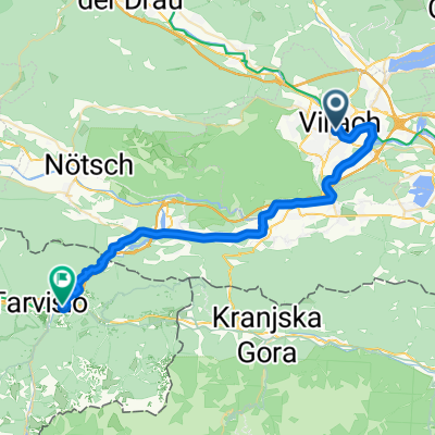
Hundsmarhof
A cycling route starting in Villach, Carinthia, Austria.
Overview
About this route
- -:--
- Duration
- 10.3 km
- Distance
- 521 m
- Ascent
- 36 m
- Descent
- ---
- Avg. speed
- ---
- Max. altitude

Continue with Bikemap
Use, edit, or download this cycling route
You would like to ride Hundsmarhof or customize it for your own trip? Here is what you can do with this Bikemap route:
Free features
- Save this route as favorite or in collections
- Copy & plan your own version of this route
- Sync your route with Garmin or Wahoo
Premium features
Free trial for 3 days, or one-time payment. More about Bikemap Premium.
- Navigate this route on iOS & Android
- Export a GPX / KML file of this route
- Create your custom printout (try it for free)
- Download this route for offline navigation
Discover more Premium features.
Get Bikemap PremiumFrom our community
Other popular routes starting in Villach
 Oswaldiberg
- Distance
- 7.2 km
- Ascent
- 461 m
- Descent
- 4 m
- Location
- Villach, Carinthia, Austria
 1. day around Villach
- Distance
- 92.3 km
- Ascent
- 1,318 m
- Descent
- 1,600 m
- Location
- Villach, Carinthia, Austria
 Ossiacher See - Moosburg - WörtherSee
- Distance
- 73.2 km
- Ascent
- 910 m
- Descent
- 913 m
- Location
- Villach, Carinthia, Austria
 Kärntner Seenrunde Fritz u, Walter Mai 2025
- Distance
- 371.9 km
- Ascent
- 4,439 m
- Descent
- 4,438 m
- Location
- Villach, Carinthia, Austria
 3Länder Villach-Slowenien-Italien-Villach CLONED FROM ROUTE 383964
- Distance
- 91.3 km
- Ascent
- 1,126 m
- Descent
- 1,129 m
- Location
- Villach, Carinthia, Austria
 05 Villach - Tarvisio
- Distance
- 35.7 km
- Ascent
- 656 m
- Descent
- 434 m
- Location
- Villach, Carinthia, Austria
 Girolibero: Laghi della Carinzia
- Distance
- 229.2 km
- Ascent
- 2,100 m
- Descent
- 2,082 m
- Location
- Villach, Carinthia, Austria
 Hundsmarhof
- Distance
- 10.3 km
- Ascent
- 521 m
- Descent
- 36 m
- Location
- Villach, Carinthia, Austria
Open it in the app